


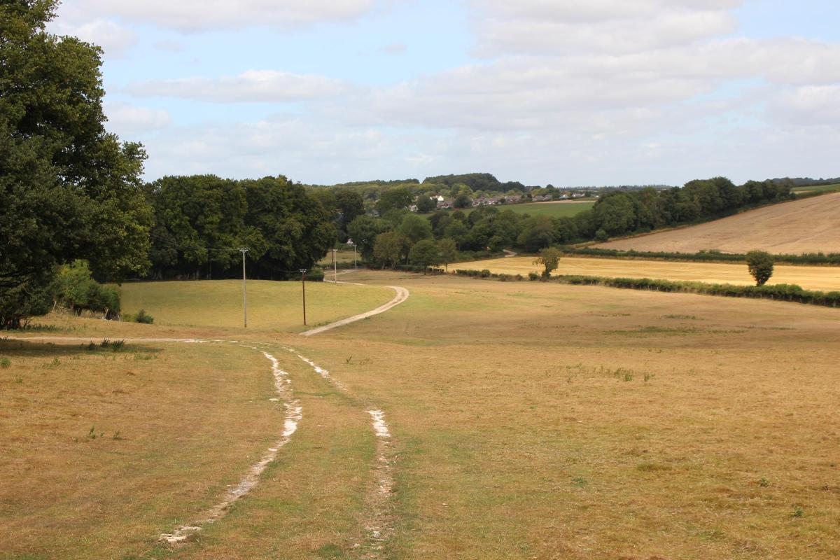
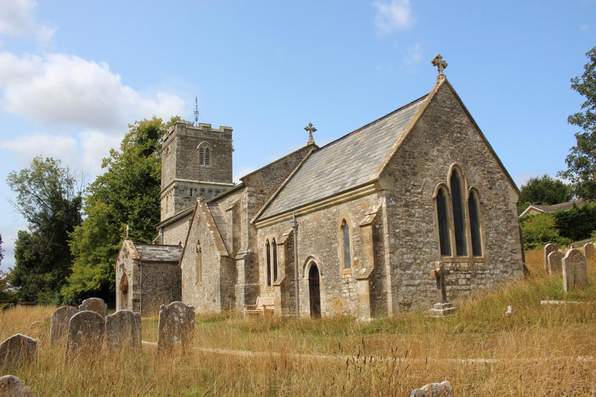

Sunlit tracks and sweeping Dorset views make this hidden hillfort walk from Tolpuddle a summer delight.
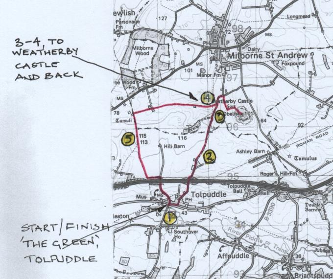
Click into the photo gallery above to see the route map full-sized.
Dorset is particularly rich in Iron Age hillforts and this walk follows several ancient routes through fields and woods with superb views to one of the county’s less visited hillforts.
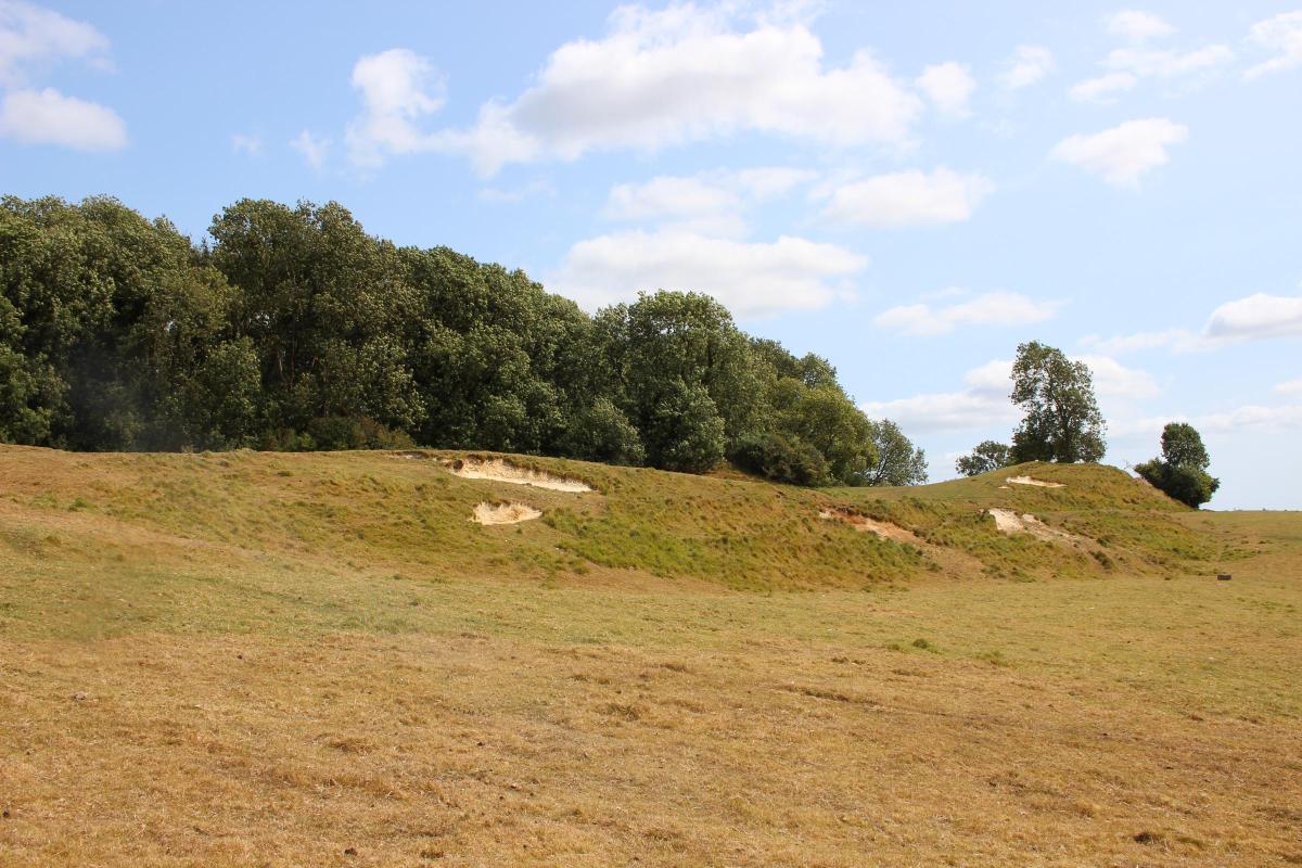
Weatherby Castle’s defensive ditches and banks enclose an area of 15 wooded acres.
There are two concentric enclosures with an original outer rampart.
In the middle of the inner enclosure, at a height of 101 metres (325ft), a 60ft tall brick and stone obelisk with a plaque 'EMP 1761’.
The obelisk was erected by Edmund Morton-Pleydell, a local landowner and MP.
It’s definitely worth walking the convoluted approach to experience the atmosphere – and to enjoy the company of quietly grazing sheep.
The pastoral views from the hill-fort are beautiful and extensive.
Before you start, James Hammett, the only Tolpuddle Martyr who returned from Australia to live and work in Dorset, is buried at St John’s Church just west along the road, behind Stable Barn.

FACT FILE
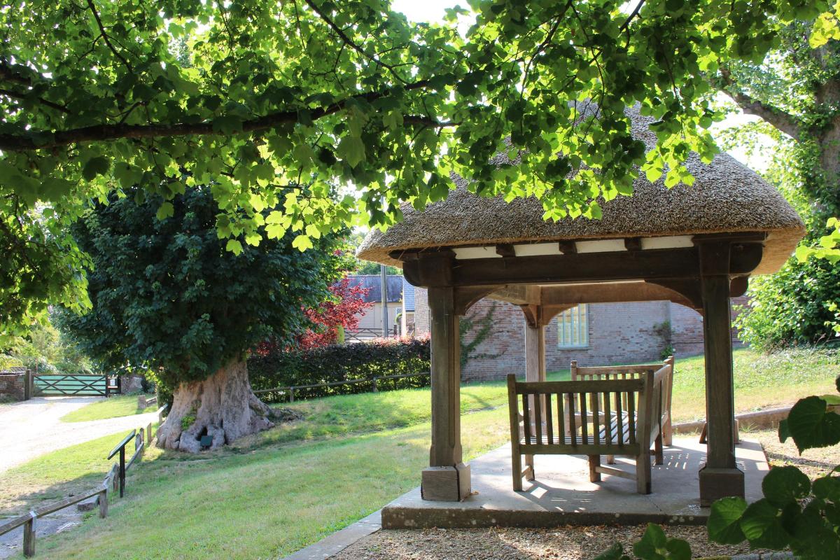
Start: Martyrs’ Tree, The Green, Tolpuddle on the corner of the ‘Affpuddle’ turning (Reference SY792944).

Distance: 5 miles/8 km.
Time: 3½ hours.
Exertion: Alternating gentle ascents and descents, mostly on farm tracks and field paths.
Map: OS Landranger Sheet 194.
Public Transport: Damory Coaches CR9 between Dorchester and Blandford.
Dogs: On leads in the village and sheep fields.
Follow the Countryside Code.
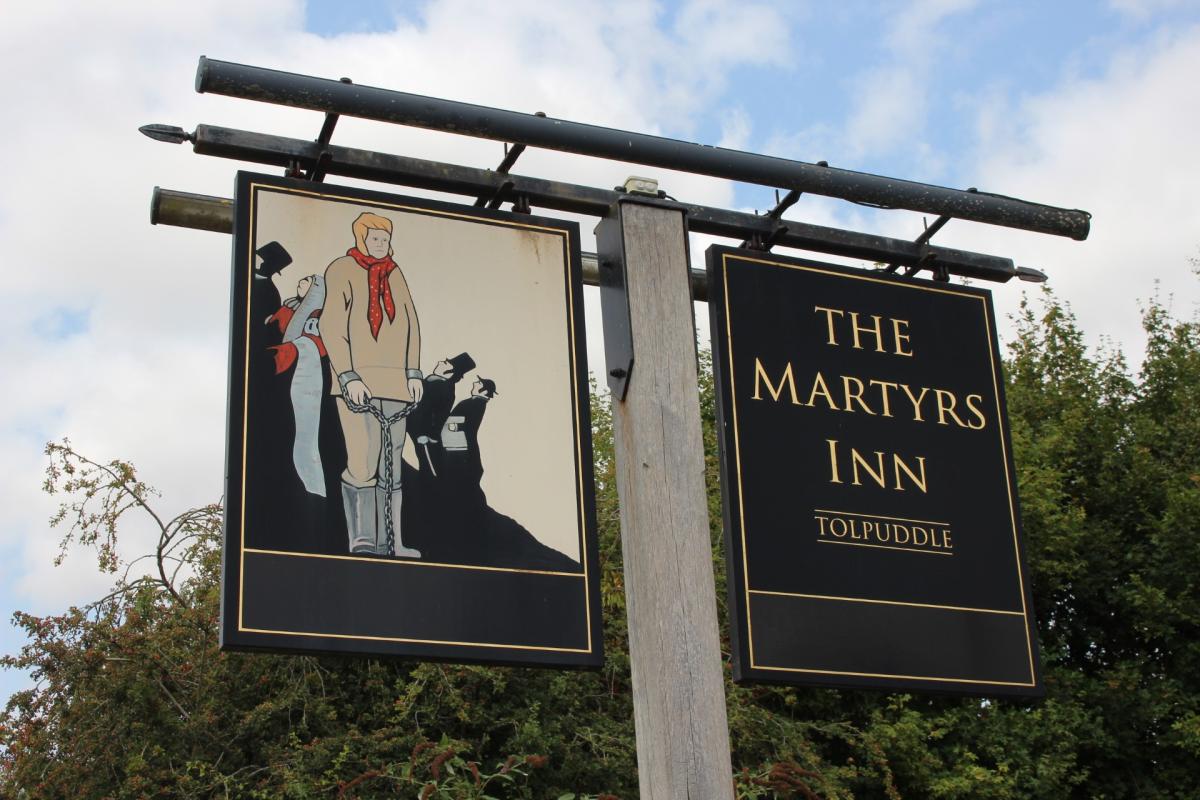
Refreshments: The Martyr’s Inn, Tolpuddle for good food and Badger Beers.
The Walk
1 From The Green, walk east along the road, past Tolpuddle Village Hall and mostly thatched cottages right and left, until you reach the Martyrs Inn.
Turn left into Whitehill for a steady ascent past houses, gardens, drives and a right track.
Continue up the banked and sycamore-shaded lane, passing left Whitehill Lane and climbing more steeply.
Continue round the left curve under sycamores, becoming less steep, with hedges both sides.
Keep ascending, then swinging slowly right to A35 Puddletown By-Pass bridge.
Over, pass the right bridleway-signed gate and continue down the fenced and hedged lane.
Down to a concreted area with dairy and agricultural barns either side, walk straight on and ignore all side tracks.
2 Through the facing open gate, continue up the stony track with a right pine wood, then fields, sometimes hedged, sometimes open and levelling out.
At the facing gate, go through and continue along the field’s left hedge grass track.
See Weatherby Castle’s wood half-right.
Reaching the facing deciduous wood, you cross the parish boundary on the wood’s edge.
Walk down the stony track and through the end gate into a spreading steep field with left trees and a meandering grassy track.
You can see Weatherby Castle right but there isn’t a direct route from here.
So, follow the track until it meets a better track which comes up and turns to fence-gates and stile on your left.
Follow this track down with parallel electricity posts, and nearing the edge of a left wood.
Notice the two fence-gates and half-gate in the corner outside the wood on your left.
This will be your route after visiting Weatherby Castle.

3 Keep to the track under the electricity wires and over the stream-bridge and swing right to facing 1½ gates.
Through, continue towards the left bend under trees.
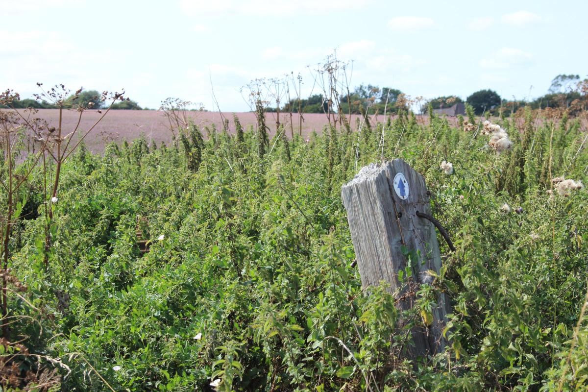
Leaving the track, take the right hedge-gap’s footpath-arrowed half-gate onto the long field’s path along the left hedge.
At the far corner, go through the footpath half-gate and turn left up along the left hedge.
Reaching the top level, above all banks and chalk slips, walk right and up the bank onto Weatherby Castle’s wide ridge.
Walk straight on, south-east (SE) to find the track which runs into the trees on its highest level with the Morton-Pleydell obelisk ahead of you.
After exploring, and befriending the peaceful sheep, make your way back down from the hill-fort, enjoying the fine views, then back along the field, then the track and over the ditch-bridge to the now-right wood where we saw our continuation route’s 2½ gates earlier.
Fork right off the track, ignoring the right footpath-arrowed kissing-gate, and follow this track up to the fence-gates and corner bridleway-arrowed half-gate.
4 Through, rejoin the track up along the valley field’s right hedge and trees.
At the field’s end, go through the hedge’s gateway and keep straight on against this long field’s left hedge.
In 100 yards, pass a bridleway gate-post.
Later, curve left under an ash tree and continue to the end bridleway-gate.
Through, turn instant-left through the hedge-gap, then right along the now-right hedge through the purple haze of the clover field.
Reaching the ‘Private Land’ and track right, continue past the right ivy-walled yard and bridleway-arrowed sleeper-post and into the next clover field.
Again, follow the right hedge, slowly ascending, to the top right corner.
Go through the narrow hedge-gap into the bridleway-posted T-junction, again the parish boundary.
Turn left on the narrow, shaded sunken path, still ascending, and continue to its exit into an open field.
Turn left along the left hedge path with long-distance views all around from the highest point on this walk.
5 Drawing level with a right wood, the O.S. map says there’s a trig point here at 113 metres.
Through the hedge gap into the next hillside field, continue down along the left hedge’s green track with Sares Wood and Affpuddle Heath ahead.
Through the bottom corner hedge-gap, bear half-left (165º SSE) across the field, aiming for three conjoined trees opposite.
This line leads to the gap in the facing hedge near the field’s far-left corner.
Through the gap, walk through to the Tarmac lane parallel with the A35.
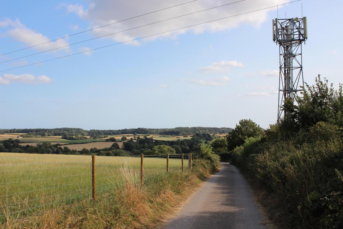
Continue, with fenced field left and elderberries right, to the two-way bridleway-signed lane.
Turn right and go under the A35 bridge.
On the other side, pass the right-signed bridleway and continue up, past another two-way bridleway signpost.
Through the facing open footpath-gate, pass the communications mast with forest views ahead.

Around the left bend and hedged both sides, you can see St John’s Church over the right field gate.
Continue downwards, steeper now, past right houses and turnings.
Straight down Central Farm Road, pass Tolpuddle Village Hall where, over the road, you’re back to where you started.


Share