





Why not try this hidden Dorset walk taking you across the county's longest river twice?
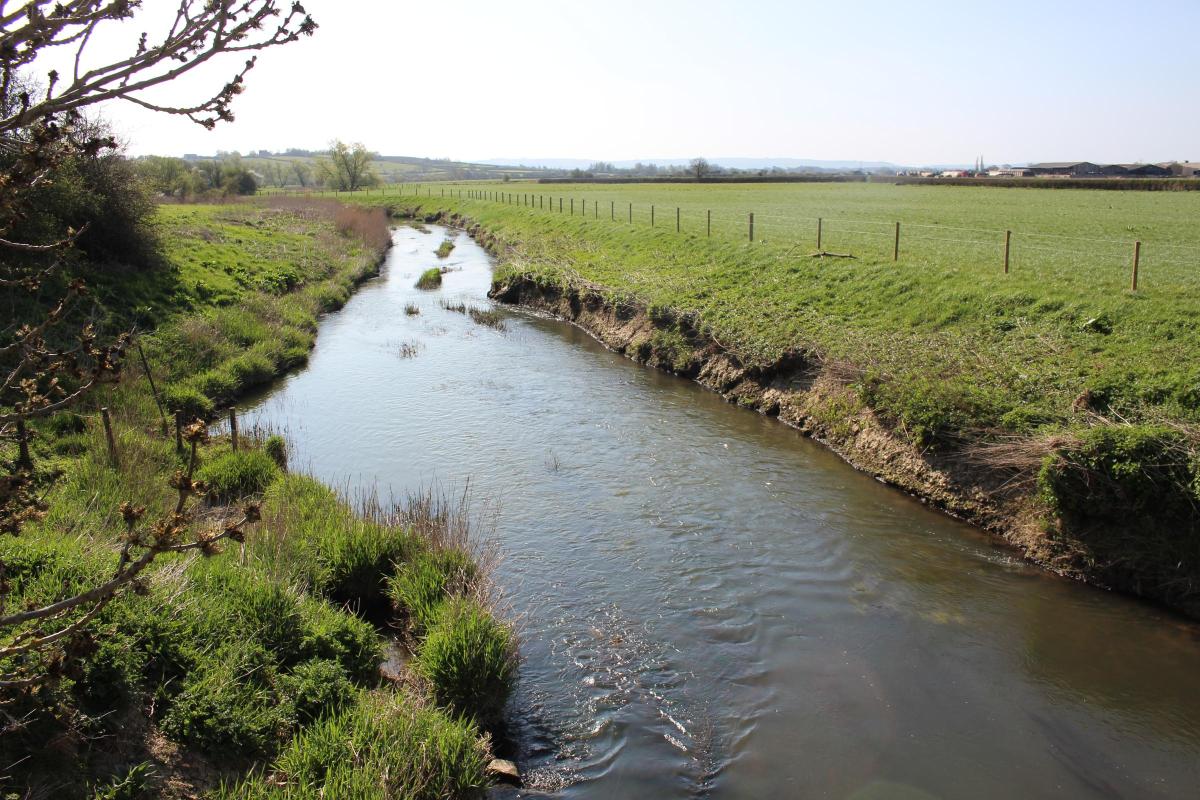
This is a gentle circuit from Marnhull crossing the River Stour and taking in wide valley views. The Stour is Dorset’s longest river.
Its meandering course is followed by the 60-mile-long Stour Valley Way based on the Stour Valley Path guidebooks of 1994 to 2003.
There are many alternative, equally varied areas which weren’t explored by the books, and this easy walk through farmland and crossing the river twice, west of Marnhull, is just one.
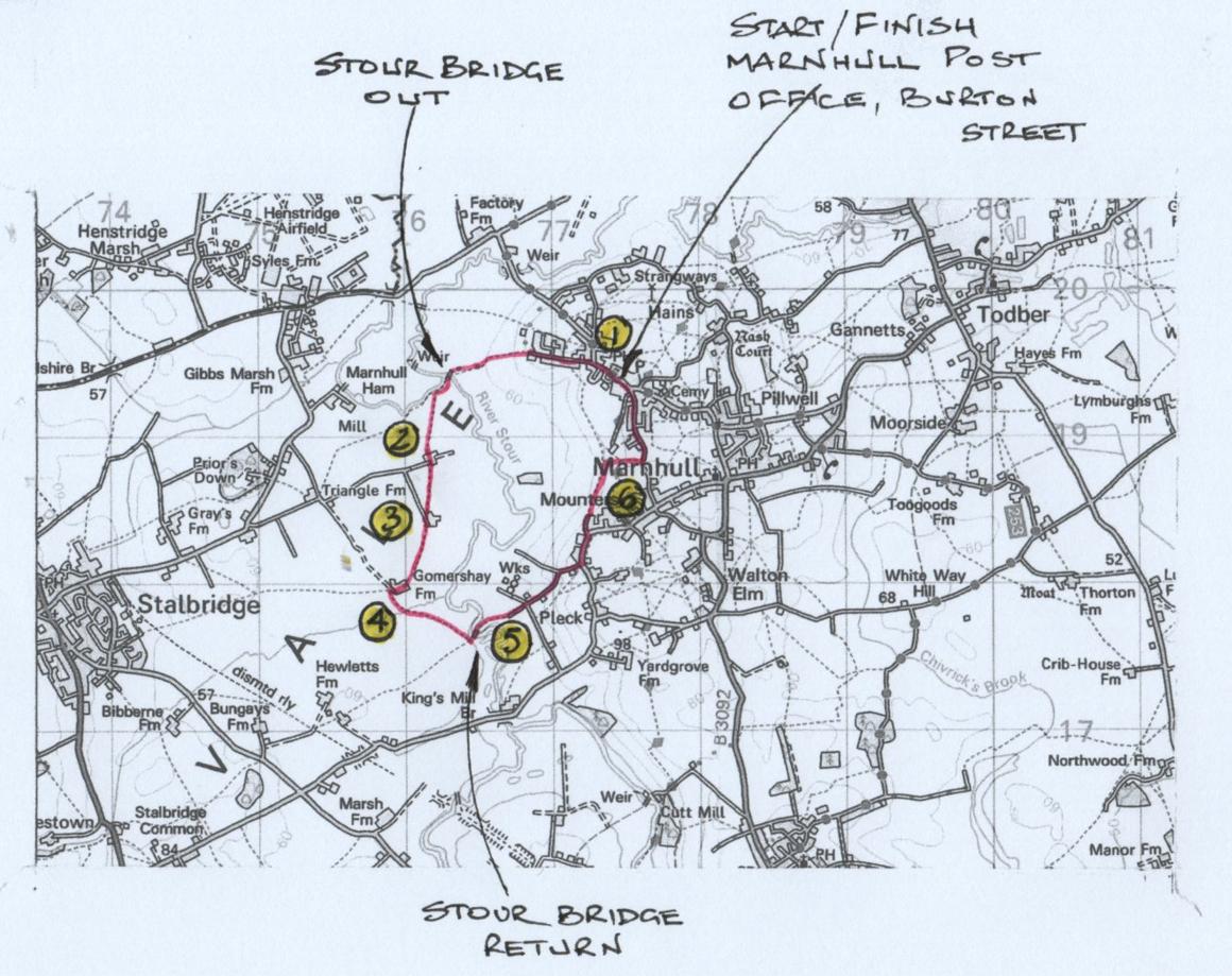
Click into the photo gallery above to see the route map full-sized.
FACT FILE
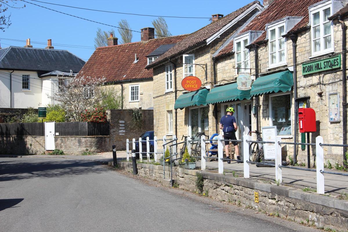
Start: Marnhull Post Office, Burton Street (Reference ST775194)
Distance: 4¼ miles/6¾ km
Time: 3 hours
Exertion: Fairly easy but several stiles
Map: OS Landranger Sheet 183
Public Transport: First Bus CR4, South West Coaches CR3 Gillingham to Sturminster Newton
Dogs: On leads in farmland and on roads. Observe Countryside Code.
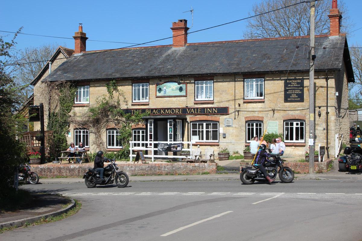
Refreshments: The Blackmore Vale Inn for excellent food and real ales.
The Walk
1 From the elevated Post Office, walk west along Burton Street.
Pass left Lovells Mead opposite The Blackmore Vale Inn.
On the right bend, take left Ham Lane and follow the pavement with attractive houses on both sides, passing Woodlands Mead and Dinhay on the right, with enticing views between left houses.
After right Ham Meadows, the views ahead open out as you approach the wide field gate overlooking distant Stalbridge.
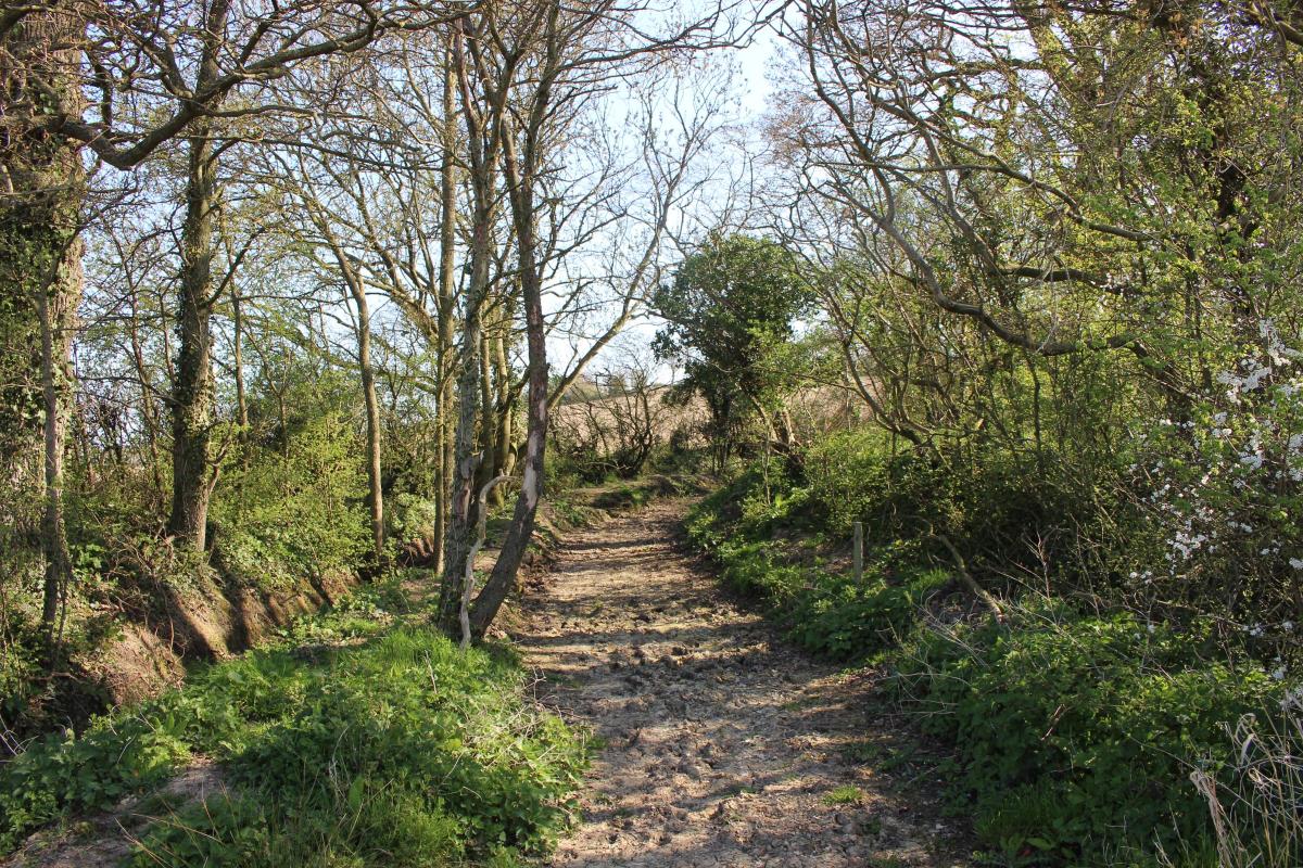
Fork left down the unsigned track through trees with the field hedge right.
At the bottom, with a right-left track crossing, cross over onto the field’s green track along the right hedge/ditch.
Continue to the fence’s footpath-arrowed stile/gate.
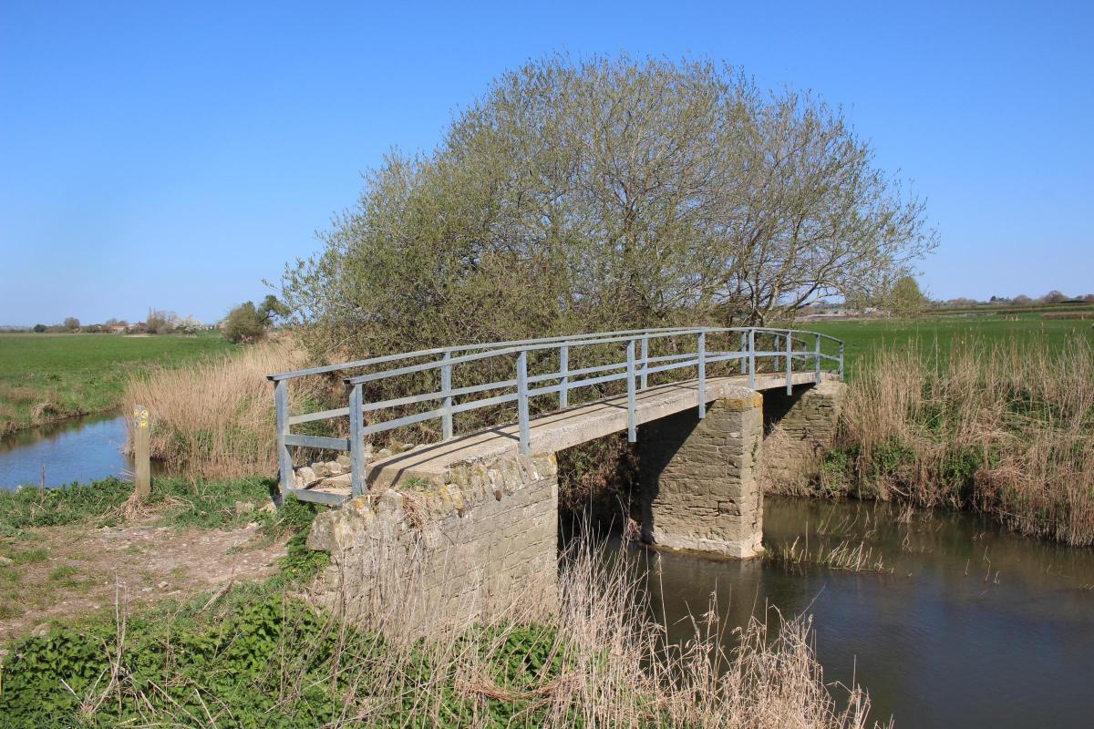
Over, cross ½-left to the half-gated bridge over the River Stour where it meets the River Cale.
Over, keep straight on across the field corner, brushing past the River Cale fence’s right-bend post, to the hedge’s ½-gated footbridge.
Over, turn left (footpath-arrowed) along the hedge’s green path to a left farm-gate.
2 From here, footpath arrows are generally missing.
So, turn right across the field to the wire fence’s unarrowed stile.
Over, keep the same direction over this field to the opposite fence-stile.
Over, cross this last field to the stile, on the other side of the fenced grass track, into the field corner.
Go through any of the gates into the concrete-walled yard.
Leave through the farm gate into the concrete yard between right and left barns.
Pass right Hamwood Farm house and cross the drive to the footpath-arrowed stile and wooden gate.
Over, walk to the nearby facing fence-stile.
Over, cross the field, aiming for the solitary electricity post on the far side.
Go over the ½-gated footpath-bridge with farm buildings ahead and cross the field’s right corner to the footpath-stile in the tree-line.
Over, cross the ditch and climb over the footpath-stile into the next field.
Cross to the far opposite-left corner footpath-gate.
3 Through onto a farm track, go left towards the barnyard, passing a right gatepost footpath-arrow.
Keep straight on along the concrete yard’s right fence and pines with left barns.
When the barns end, bend left, footpath-arrowed.
The barns finish before the Farm House yard and, here, go through the right footpath-gate into the field corner.
The exit is in the far hedge, about 75 yards from the left corner, but follow the left hedge/ditch, passing a confirmation arrow, into the far left corner and turn right along the hedge to find the exit footpath-bridge.
Over into the next field, with farm buildings ahead-right, turn ½-right towards the silo until it disappears behind barns.
Then, go past the fence-corner footpath-arrow and walk along the concrete yard between barns.
Bend left at the footpath-arrow.
Then, at two right low stone barns, turn right between them, footpath-arrowed.
Continue past left Gomershay Farm house and another footpath-arrow on a left barn-post.
4 Through the two-way footpath-gate into an open yard with barns right and low stone barn left, turn left onto the rough track behind that stone-barn and past a footpath-arrow post.
Follow the track through farm debris and over the Stour tributary concrete bridge.
Here, the track swings right/left but cross to the footpath-arrow post, from where cross the large field aiming left of the left of two distant houses.
Go past the left outer corner, twenty yards left of a cattle trough in the field’s facing fence.
Now, follow the right fence to a cattle trough and bend ¼-left to the footpath-stiled footbridge over the Stour.
Over, cross the field, bearing slightly right, or even diverting along the river’s edge, to the facing hedge’s stile/gate.
Over, follow the left hedge to the road stile/gate with back-facing footpath-signpost.
Over, cross into the rising lane, slowly swinging left then right, with fine views back over your route.
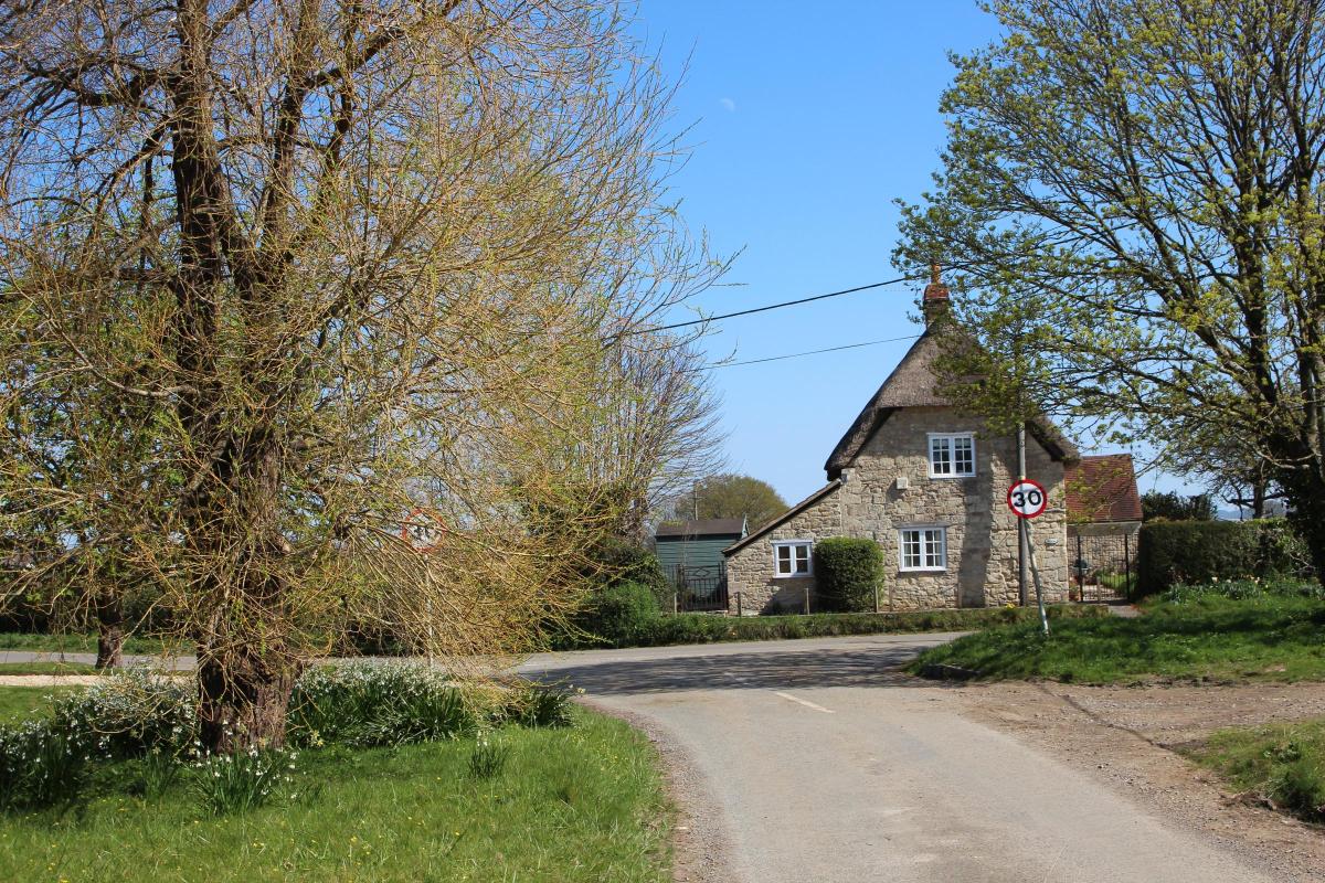
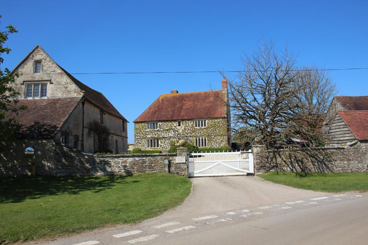
5 At the top, meet left elegant Chantry Farm house and, over the road, Pope’s Cottage.
Turn left along the road with left Chantry Farm’s high stone wall, passing the entrance to The Hay Barn and Pope’s Farm, the Popes being an important Marnhull family with three generations holding considerable estates here in the 17th century.
On the right bend, take the left footpath-signed gated driveway down to the ‘Private Property Footpath Only’ gate with Little Thatch right.
Through, follow the left-hedged track past right houses with extensive views.
Into the open hillside field follow the right hedge down to the stream and footpath-stile in the corner.
Over, cross the sloping field to the opposite footpath-stile.
Over, follow the enclosed path with left field to the end footpath-stile.
Over, cross the paddock ½-left to 1½ two-way footpath-gates.
Through, go right onto the path left of dairy sheds to the footpath half-gate.
Through, with a Stour Valley Way arrow, cross the half-gated short enclosure.
6 Through, follow the enclosed path with fields, hedges, trees and sleeper-bridge to the footpath kissing-gate.
Through, follow the left hedge to the footpath-stile.
Over into hedged sunken Sackmore Lane, footpath-signed back, turn left.
Walk down past new houses left and ascend past earlier properties and a left footpath-sign at Hart’s House.
Continue up past right Sackmore Green, Chestnut Close and the old chapel right.
At the T-junction, turn left into Burton Street.
Pass a Stour Valley Way sign-posted path at left Cross Tree Farm and the elegant stone-built property and garden right.
In a few yards, you arrive back at the raised pavement and Marnhull Post Office where you started.


Share