






This gentle walk from Wareham Quay follows the River Frome through meadows and reedbeds towards Poole Harbour.
The Stour is Dorset’s undisputed longest river but the Frome is the most Dorset of rivers because it rises and ends in Dorset.
The Stour rises in Wiltshire and ends at Christchurch which, until the boundary changes of 1974, was in Hampshire.
The River Frome rises from several indistinct sources in and around Evershot and Holywell and meanders slowly, generally southwards, through some of Dorset’s most beautiful and productive countryside, mostly avoiding towns and villages except for Dorchester and Wareham itself, on its way to Poole Harbour.
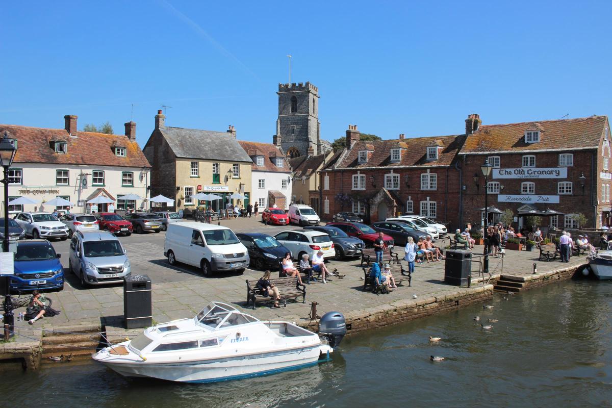
This delightful walk begins on Wareham’s historic Quay and follows the Frome’s edge for two miles to Swineham Point on the edge of Poole Harbour, which is only one mile as the crow flies, before returning by clear field and woodland paths.
FACT FILE
Start: Wareham Quay (Reference SY926872) (Market day Saturday)
Distance: 4¼ miles/6¾ km Time: 2½ hours
Exertion: Easy level paths and pavements
Map: OS Landranger Sheet 195
Public Transport: Morebus Purbeck Breezer 40, First Bus 54
Dogs: On leads along river, near cattle and in town. Observe the Countryside Code
Refreshments: The Quay Inn for good food and real ales
The Walk
1 On The Quay, walk through the far left corner passageway into Church Green and The Priory Church of Lady St Mary, almost completely rebuilt 1841-2 but retaining its magnificent 15th-century West Tower.
The church was attached to the priory which was founded by Aldhelm, Bishop of Sherborne who died in 709, originally as a nunnery.
The priory was destroyed together with the town by the Danes in 876, and it was afterwards re-established as a Benedictine monastery dedicated to Lady St Mary.
Walk past the west doorway and along the churchyard wall to first-right Church Lane with the thatched corner-cottage.
Turn right, sign-posted ‘Two Rivers Walk’ and ‘Walls Walk’.
Follow the low-walled lane, bending left and right and continuing with peaceful ‘Wareham Cemeteries’ both sides and Purbeck hills far right.
At the end T-junction, with ‘Frome Valley Trail’ signed left and right, turn right for ‘Swineham Point’ on the track with the cemetery wall right and fenced pumping station left.
2 At the end, take the left enclosed path along the high fence and bend right on the sometimes boggy woodland path with left reeds and right marshland, over occasional boardwalks and up the substantial boardwalk.
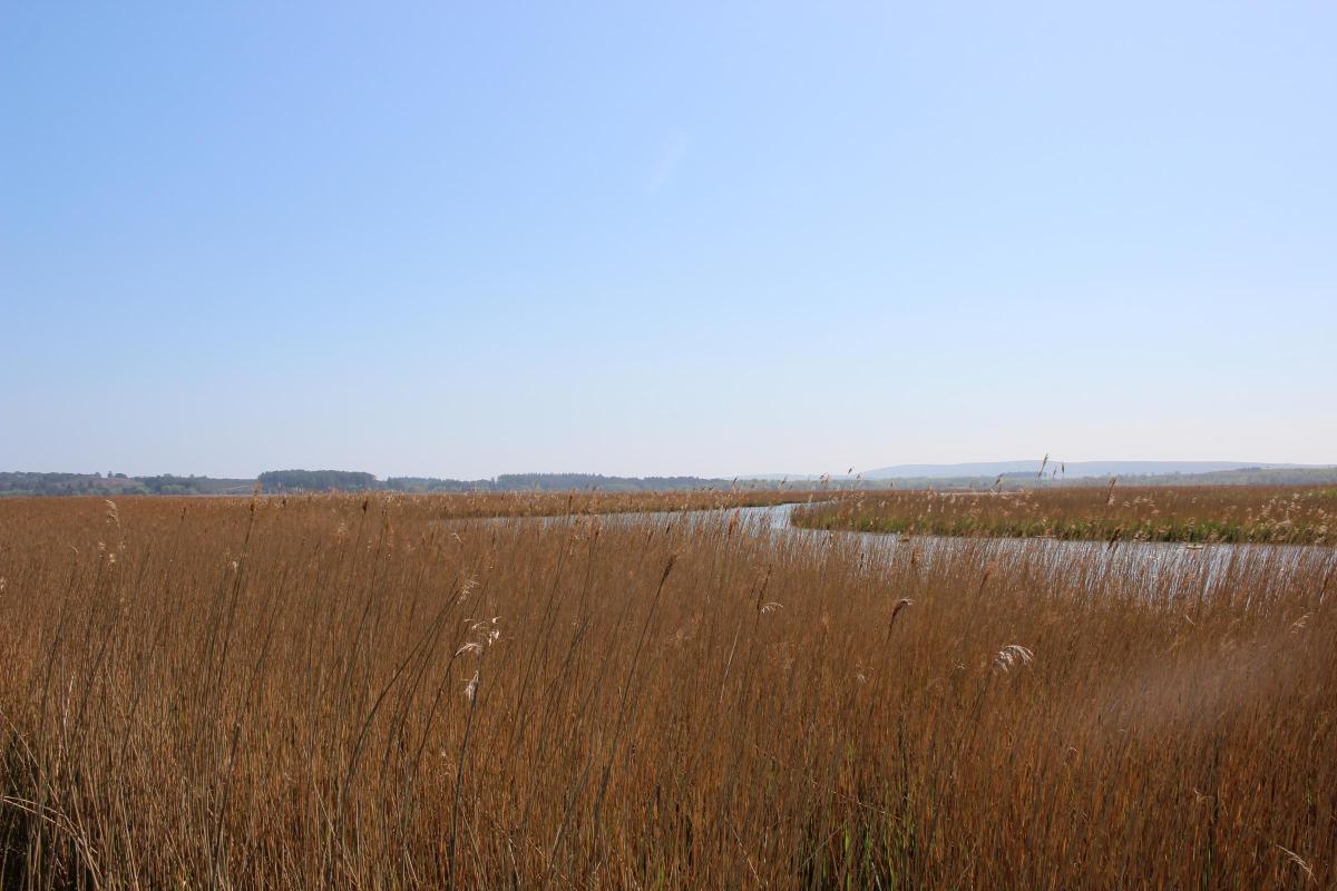
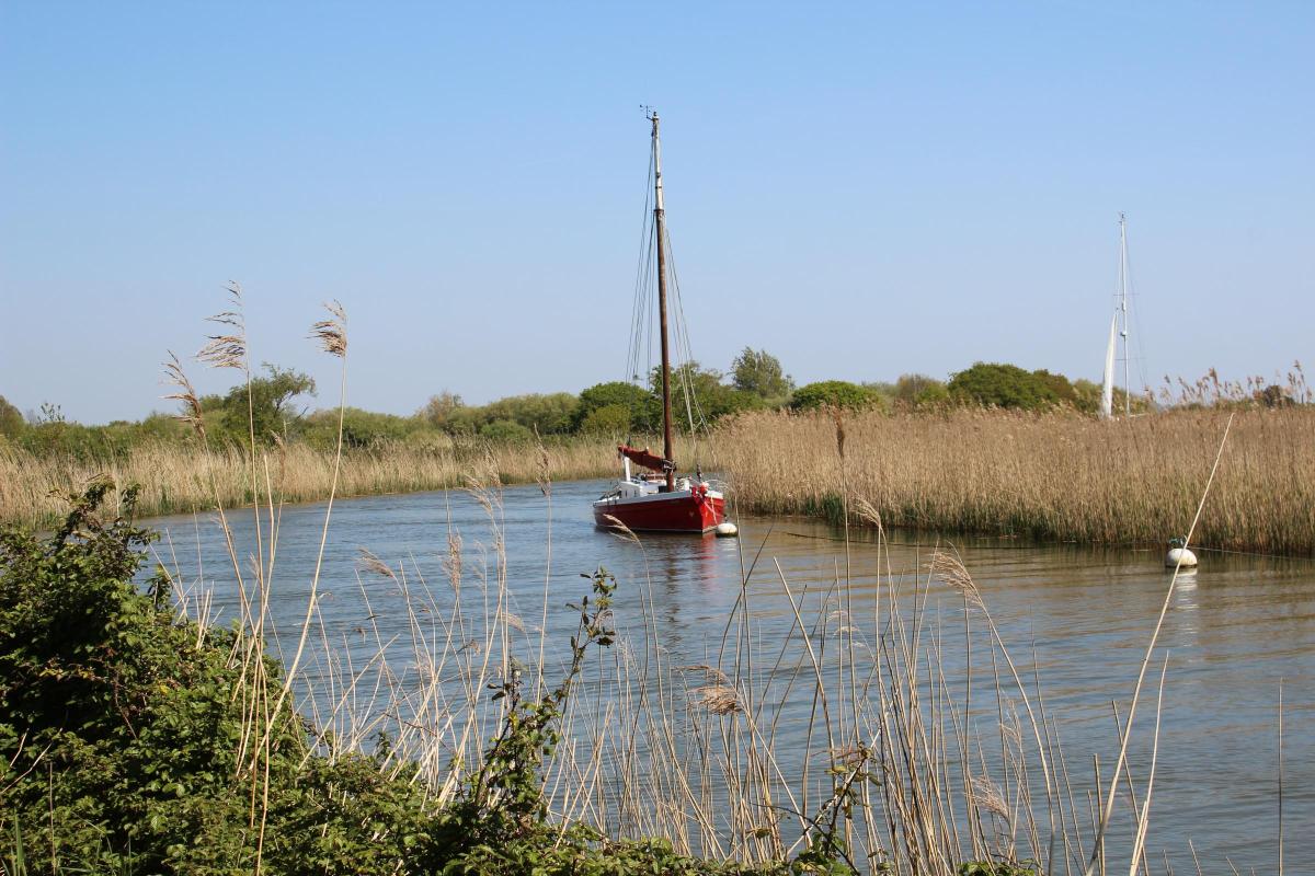
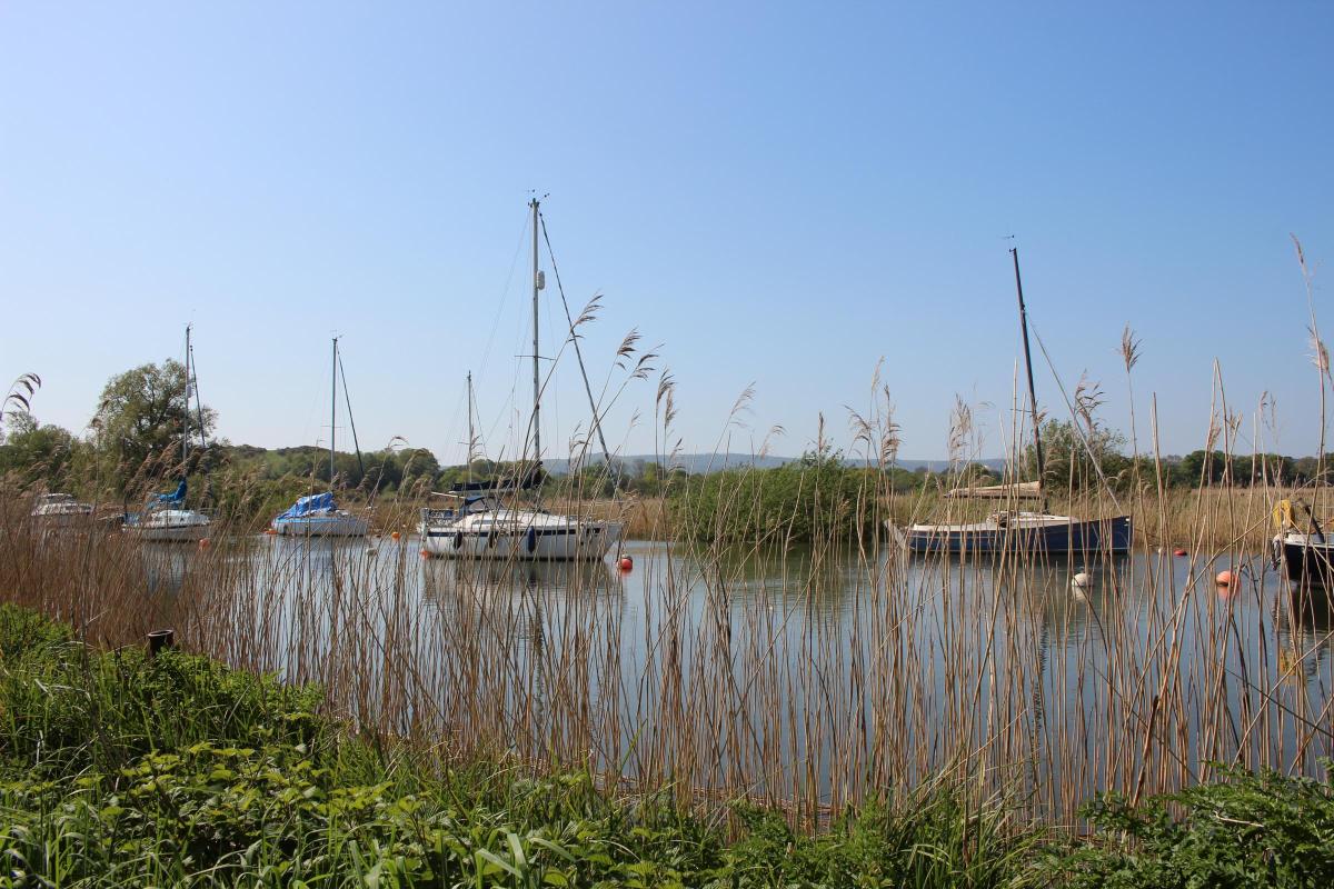
Follow the riverside path along the top of the stabilising bank which drops to water-meadows left and has reeds bordering the River Frome right.
Listen for chattering reed warblers.
The river performs many meanders from here, two of which describe 180 degree arcs which virtually double-back on themselves.
After passing Redclyffe Yacht Club on the opposite bank, there is the first pronounced left (anti-clockwise) bend at right Redcliffe Farm and, in a few yards, notice houses at Bestwall across the water meadows and Lady St Mary’s left.
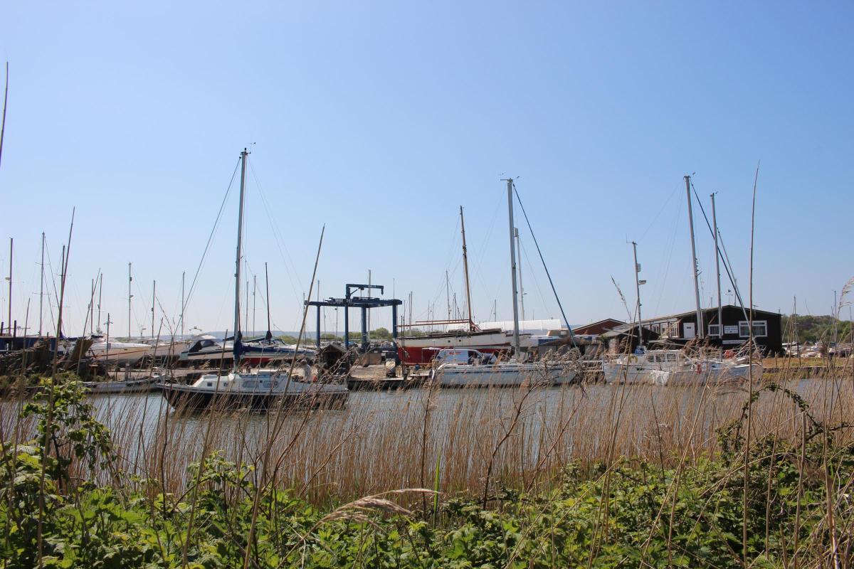
Soon, having passed through a ‘tunnel’ of silver birch trees, the river slowly swings 180 degrees right (clockwise) and passes Ridge Wharf boatyard opposite.
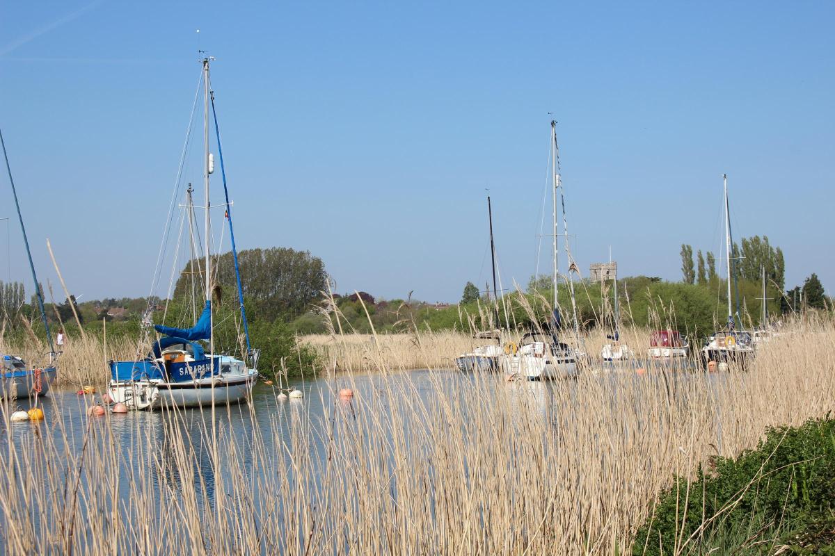
3 Looking left across the lake and water meadows, you’ll see boats’ sails and masts.
That’s still the river – on another 180 degrees left bend.
Along this stretch, you will see wooded Arne peninsula over to your right.
Then, alongside an oak ‘avenue’, the river swings right and left again before you reach a T-junction with a three-way signpost.
Keep to the ‘Frome Valley Trail’ and ‘Swineham 197 yards’ path with left gorse and right reeds.
Past a footpath-arrow post, you lose sight of the river which meanders seaward through extensive reed-beds into Poole Harbour.
Keep swinging left, with Swineham Farm’s Open Water Swimming lakes, formerly gravel pits and clay pits similar to Wareham’s Blue Pool, behind the left hawthorns.
Pass the ‘Private’ right gate which opens onto Swineham Point’s reed-beds where, unseen but close-by, the second of the ‘Two Rivers’, the River Piddle, meets Poole Harbour and the Frome.
4 Continue into a fenced grass track leading to a ‘Poole Harbour Trails’ kissing-gate.
Through, keep following the vast meadow’s well-used green track along the left wood’s edge at first, then meandering ¼-right through sedge-grass to meet the track which goes through the facing trees, left of the sixth oak from the right.
Through the trees, keep following the meandering grass track along the left ditch and wood.
Far right is increasingly rare undisturbed water-meadow habitat of vulnerable ground-nesting lapwings which are often seen here in late-spring.
Now, continue along the left wood’s outside edge to the gate and kissing-gate, sign-posted back ‘Swineham’ and forward ‘Wareham’.
Go through and swing right on the track through trees with left-fenced Bestwall Park house and grounds.
Archaeological studies have shown that there was early Stone Age activity here.
Mesolithic hunter-gatherers lived here, and Bronze Age and Iron Age pottery was found here.
Roman occupiers built pottery production facilities on an industrial scale on the existing Iron Age site, such was the quality and variety of the clays which were so plentiful between here and Norden.
Huge quantities of fine black burnished-ware pottery were produced between 200AD and 400AD and loaded onto ships moored alongside on the River Frome.
5 Pass left sheds and a footpath-post at Bestwall Park house’s drive.
Keep straight on along the now-Tarmac drive.
Pass a left gate and go through a facing gateway under mostly old oaks.
Continue, with sunken woods and the River Piddle below right then through iron-gates and past left Oak Cottage.
Reaching Wareham’s ancient high banked ‘walls’, keep straight on along the lane under many trees.
Pass left North Bestwall Farm’s footpath-drive and keep straight on to meet Bestwall Road T-junction.
Turn right and walk along East Street past right terraced cottages and right Moreton’s Lane.
Take the next left turning, Church Street.
Walk on past the left Congregational Chapel and right Sainsbury’s car park.
Bend right along the right wall to St John’s Hill.
Cross the square heading half-right towards South Street.
On your right is the old Police Station which was built on or near St John’s Chapel which gives this square its name.
Into South Street, turn left and pass Wareham Library back to The Quay where you started.


Share