



Why not try this short walk to see the Dorset heath that shaped Thomas Hardy's literary world?
More than 180 years after Thomas Hardy was born at Higher Bockhampton, walkers can still explore the haunting heathland that inspired some of his greatest novels.
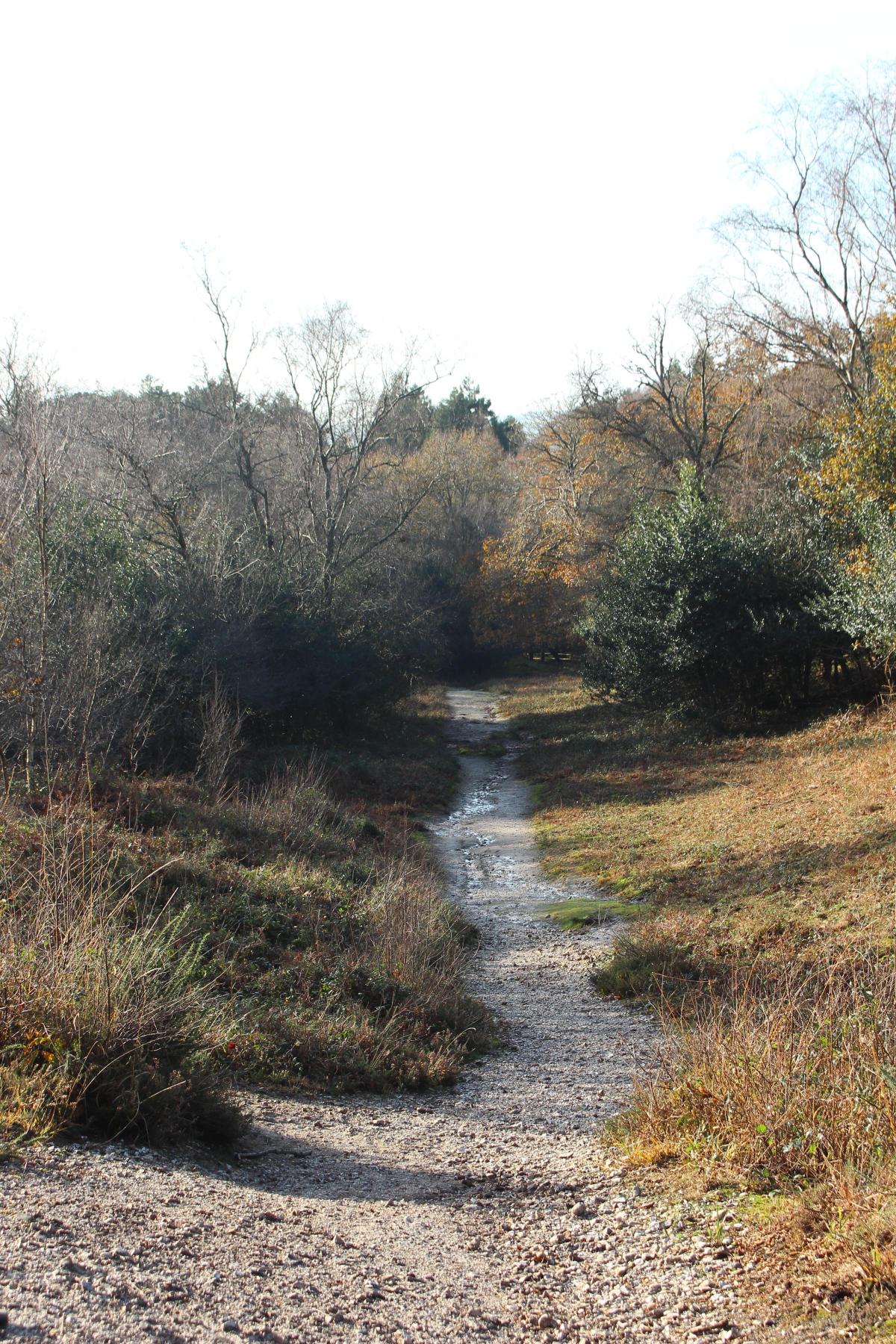
This scenic Dorset route crosses ancient Roman roads, pine forests and open heath that helped shape Hardy’s vision of Wessex.
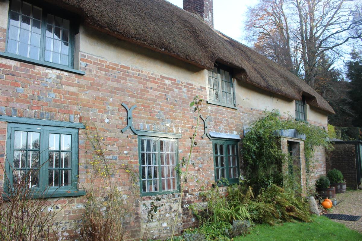
On June 2, 1840, Thomas Hardy was born in the first house to be built on the first building plot of Kingston Maurward Estate’s planned settlement.
Located on the edge of Puddletown Heath, it was going to be called New Bockhampton.
Hardy’s great-grandfather acquired the plot in 1800 on a three-generation lease. But, more importantly for our purposes, behind the originally isolated woodland cottage was a vast expanse of pristine heathland wilderness which, from Hardy’s childhood to his later life, was prime context for much of his writing and poetry.
Although Bronze Age barrows and the Roman Road were built on Puddletown Heath long before the Hardy family’s arrival; and plantations of pines were planted both during and after the writer’s time, much of the atmosphere of the windswept ‘Egdon Heath’ of Hardy’s Wessex ‘populated by heath-croppers (wild ponies) rather than with sheep and shepherds’ still remains.
You can still amble slowly along its many winding paths and stretches of Roman Road to enjoy the solitude that is ‘far from the madding crowd’.
Compass Points
Distance: 3½ miles/5.5 km
Time: 2½ hours
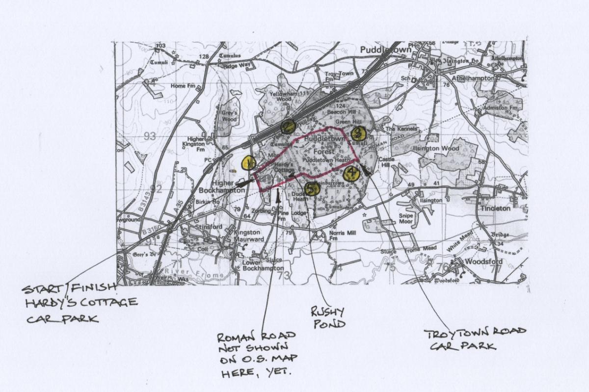
Start: Hardy’s Cottage and Thorncombe Wood car park, Higher Bockhampton (Grid Ref: SY725922)
Exertion: Not strenuous, one long ascent on Roman Road zigzag
Map: OS Landranger Sheet 194
Public Transport: None
Dogs: Please abide by The Countryside Code
Refreshments: Coffee, teas and snacks at Visitor Centre where you park
The Walk
1 From the car park, walk back along the entry lane. Don’t take the ‘Hardy’s Cottage’ signed path into right trees, or ‘Visitor Centre’ path. Continue to the T-junction with fields opposite. Turn right, signed ‘Public Bridleway Puddletown 2½’.

Follow the lane up past right Mellstock House, right and left cottages, and a right paddock.
See Hardy’s Cottage, now looked after by the National Trust over the right wall.

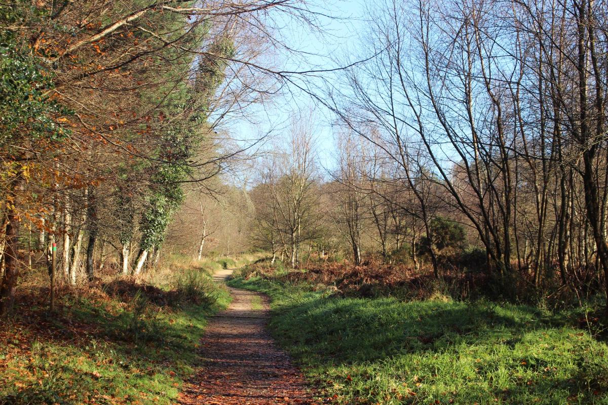
Continue past the thatched gable-end to the ‘American Admirers’ 1931 monolith at the paths crossing, sign-posted ‘Puddletown 2¼’ straight on. Around the cantilever-gate, follow the rising leaf-strewn sandy track with dense pinewoods left and scrub, trees, gorse and bracken right, then more open with a deep swallet hole right and holly bushes left.
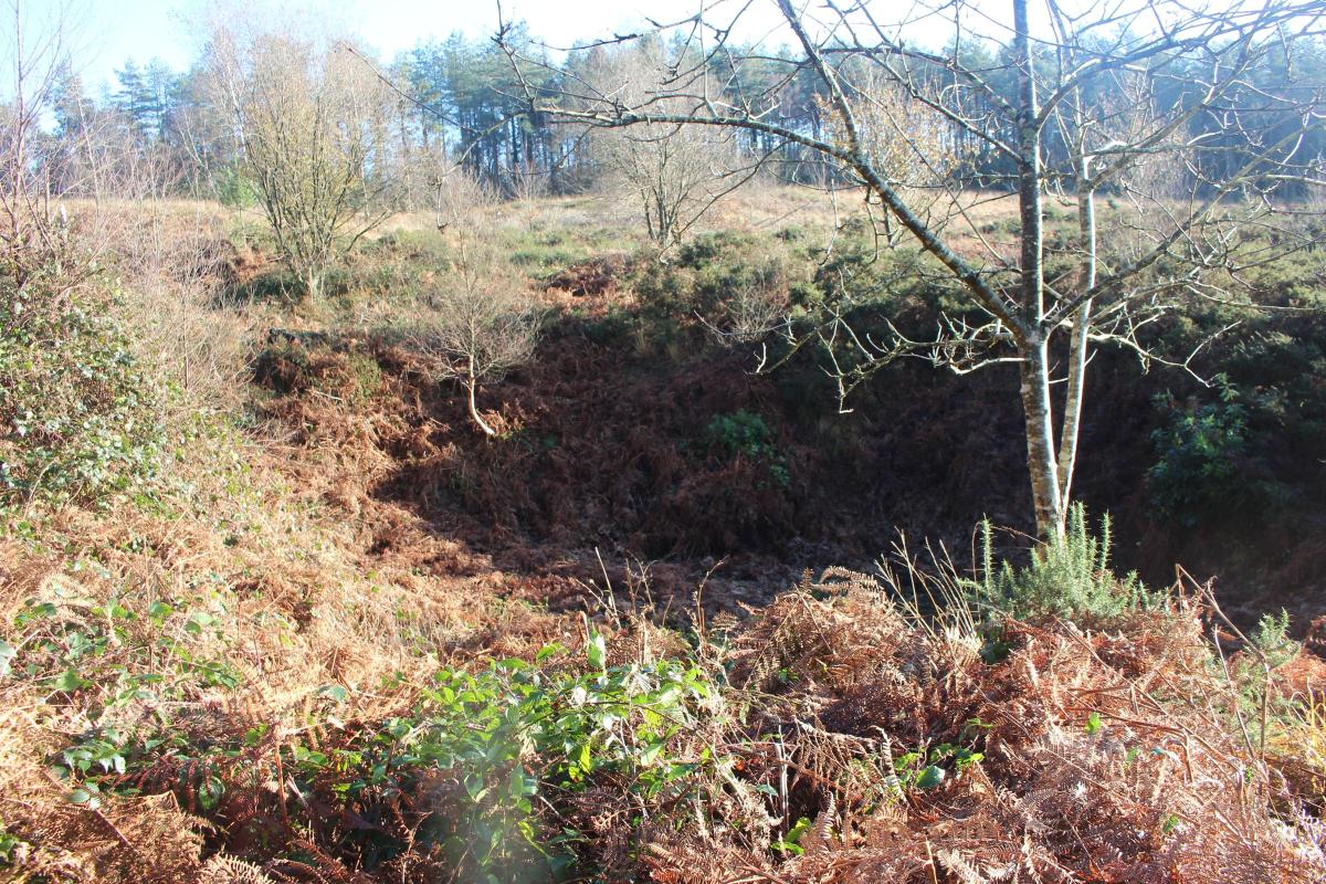
Swallet holes are caused by underground streams undermining the sandy soils above; the forest and heath are riddled with swallet holes. These had to be avoided by both the Roman Road builders and overcome by Dorset County Council when constructing the Yellowham Hill section of Puddletown by-pass. At the bridleway and footpath-post crossing, continue up on your bridleway. Then ascend with hillside wood right and swallet wood left. Past the back-right and back-left tracks, reach the five-ways tracks crossing.
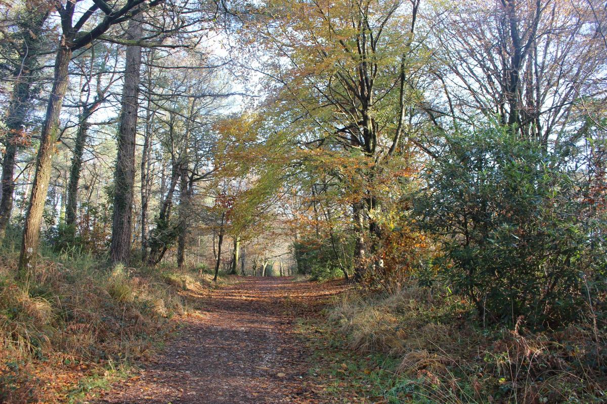
2 Go across to the rising bridleway-posted track through pines, some oaks and rhododendrons and more open deciduous trees.

The track is wider now and along Green Hill’s wooded ridge. Meander through past one right and one back-right track. Continue, downhill with rhododendrons, then rising to a bridleway-posted fork with a left swallet hole. Keep straight on, passing the swallet hole and rising.

Becoming more level and greener, you reach a bridleway-posted crossing with the main stony track running right-left. Turn right, passing the instant-right swallet hole and into an open bracken area. Reaching the curving bridleway-posted track T-junction, swing right. Next, take the first left bridleway-posted track. Descend alongside the right pinewood, then, with gorse-clad hillside left. Arriving at a right bend which leads down into a dark wood, don’t follow it.
3 Instead, keep straight on along the narrower path, up and over. Ignore any side paths and continue through gorse, bracken and heather on the sandy track. Arriving at the left-swinging bend, with back-right and down-right paths, cross the junction to the narrow straight-on minor path. Continue through bracken, descending into pinewood and widening to a paths T-junction. Go right, through mossy pinewood still, and into the grassy clearing. Here, veer right on the path towards ‘Forestry England’ parking area off the Troy Town road.
Don’t go there, instead turn right into the pinewood, on the rising path away from the car park. In 100 yards, in a clearing with paths crossing, fork left down through a few Christmas trees. Follow the wide grassy, damp track with some huge pines lining the left side. This is the Roman Road, as yet unclear but, into the sunlight, it’s banked with ditches both sides descending to a tracks’ junction.
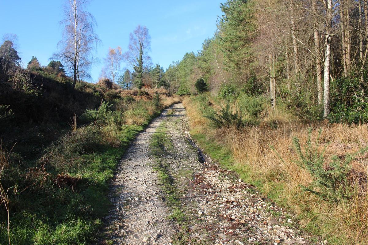
4 Cross over and keep straight on, rising steadily with rhododendrons and pines left, and pines further to your right. The stone and gravel surface and ditches either side on this long ascent are indicative of the Roman Road. When the track swings right, leave it and keep straight on up. At a right fork, still keep straight on up.
Even the Roman Road had to meander up the steep slopes of this ridge, with banked gorse and heather left and low wood right. At the very top T-junction of paths with a facing fence-gate, turn right. (Left follows the fence to the Rainbarrows but, if you go to visit them, come back to this point). In 25 yards, opposite the fenced swallet hole, go through the left half-gate, signed ‘Permissive Path Roman Road’.

5 The Roman Road is very clear now with ditches both sides. Continue through part-cleared woods, then with holly and heather, and down to the crossing, signed ‘Norris Mill’ left, ‘Hardy’s Cottage’ right and ‘Black Heath’ ahead. Keep straight on to the Permissive Path fence-gap into ‘Thorncombe Woods’.

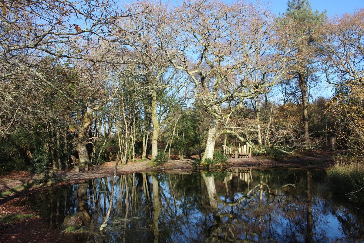
Through, continue for ‘Black Heath’ with Rushy Pond right, or visit Rushy Pond first. Either way, cross the right-left path and keep straight on over into the descending path, still Roman Road, and down into trees before the wooden fence’s kissing-gate.
Through to the right-left track, don’t go full left on the bridleway and don’t take the ‘Visitor Centre’ track, but cross half-left into the pine-edged track, still the raised Roman Road. Walk on, over and down to the T-junction, signed back ‘Roman Road’. We leave it now as it continues, invisibly, across the field outside the wood towards Durnovaria (the Roman name for Dorchester). Turn right back to the car park where you started.


Share