



This coastal walk around Portland is one of Dorset’s most spectacular short adventures offering unforgettable sea views.
From its highest point in the north - 496ft at Verne Citadel according to John Hutchins’ 1774 book History of Dorset, but 450ft according to the Royal Commission on Historical Monuments - to its lowest at virtual sea level at the southernmost tip, the Isle of Portland is practically one solid block of Jurassic limestone.
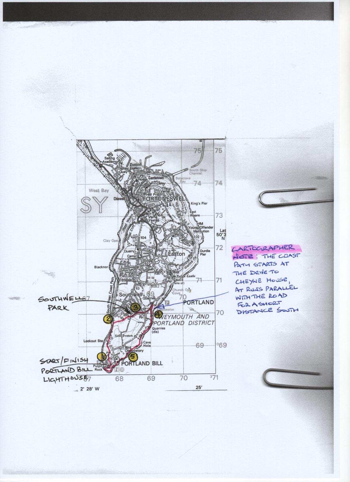
Click into the photo gallery above to see the route map full-sized.
Southwell appears as a separate small hamlet, and Portland Bill is called ‘Beell’ in a 1710 map reproduced in Hutchins’ tome. For the purposes of this delightful stroll above sea-cliffs, through disused quarries and over ancient field systems, we can simply disregard all of this and concentrate on enjoying the outstanding views, watching the waves lapping or crashing - depending on the weather - against the rocks, listening to birdsong - from feathered residents and summer visitors - and inhaling the fresh sea air for a few blissful hours.
The Walk
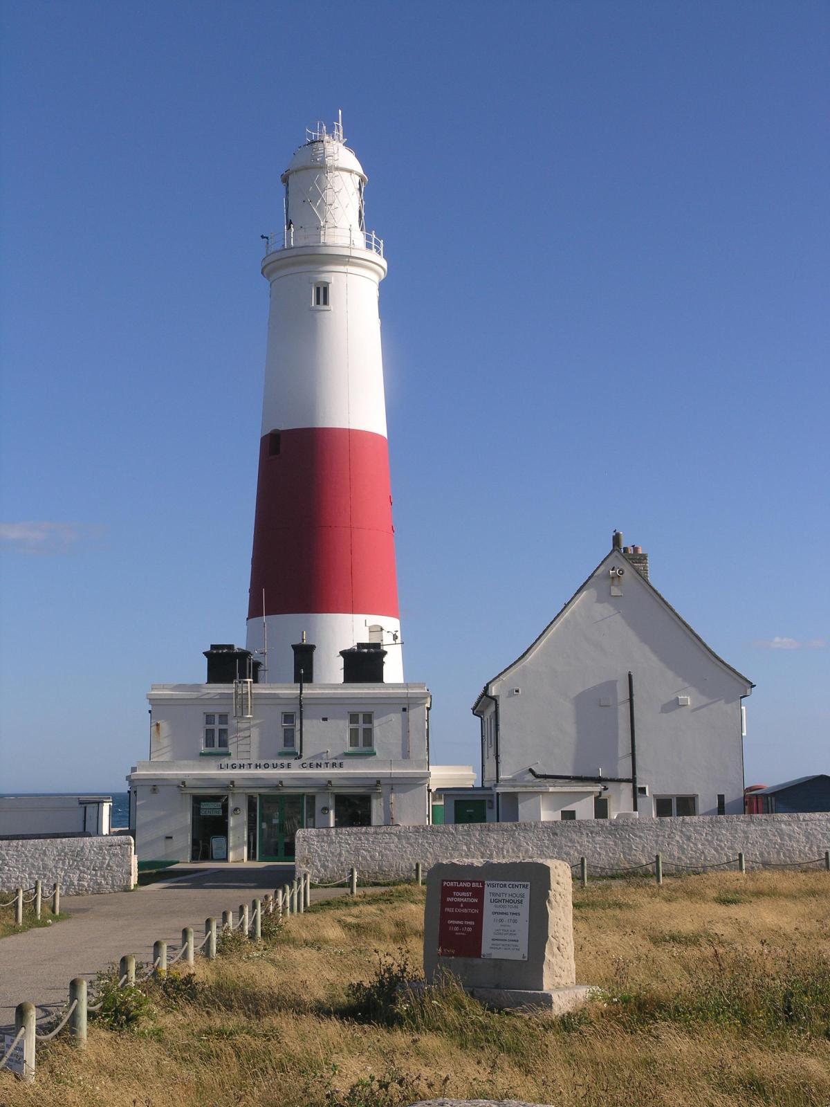
1 From the lighthouse, walk across the car park to the far north-west corner and the Weymouth-Portland bus-stop.
Go through the line of Portland-stone blocks, cross the field to the similarly stone-block edged driveway from the left Qinetic compound. Cross this and pass the ‘Coast Path’ signpost with ‘Chiswell 3¼’ straight on - where Chesil Beach starts.
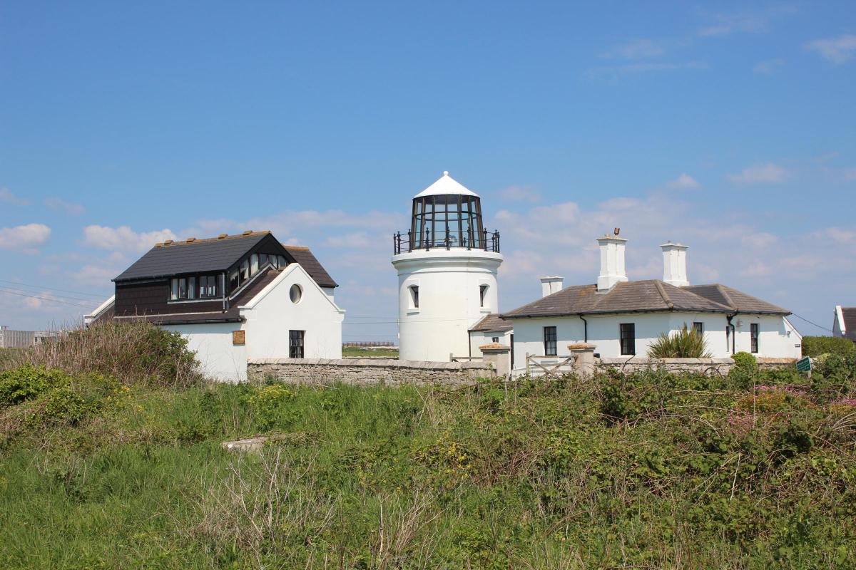
Follow the green path through more rocks and up the expansive open grassland. Up to the first fork, either way is perfectly OK because they meet again in a few yards. Just keep aiming for the Coastwatch look-out station ahead. Reaching the higher ground, cross the Coastwatch station approach road, continue on the green track past the right Upper Lighthouse, built in 1716. Marie Stopes (1880 – 1958), pioneer of women’s rights and founder of the first birth control clinic in Britain in 1921, lived here for several years.
She founded and curated the Portland Museum, donating a cottage in Wakeham to house its collection, which opened in 1930.
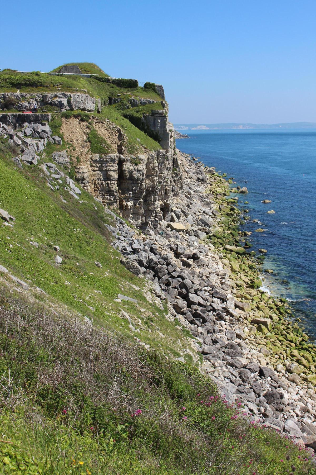
Keep following the path with the fenced field right and very high cliffs left with views to Chesil Beach and Weymouth beyond, and cliff-top Blacknor Fort ahead. The latter was built in 1900-02 as a coastal defense; it was operational again in Second World War. Decommissioned in 1956, its now privately owned.
2 The high-wire fenced compound ahead with high, mostly concrete, buildings is the site of the former Admiralty Underwater Weapons Research Establishment (AUWRE) where torpedoes were developed and tested until the 1980s.
Keep following the right fence, passing several tempting openings on the right, until you reach the actual high-wire fenced compound. At the ‘Coast Path’ stone, turn right into the fence-and-hedge enclosed path, tending to be quite verdant at this time of year.
Just walk straight on for ¼ mile, passing a right half-get onto a ‘No Public Right of Way’ track on the way. Continue to open grassland where Sweethill Road leads to left Southwell Park Industrial Estate and School. Cross forward-right to the ‘Public Footpath’ signpost and walk down the opposite pavement, passing a right ‘Portland Bill 1½ and Wallsend Cove ½’ signpost. This track leads indirectly to the Portland Bird Observatory at the Lower Lighthouse.
3 Continue to the T-junction and turn right. Walk straight on into the ‘No Entry’ section of road at the green island junction and then continue along Southwell Street past right Eight Kings inn and the Portland road turning right at the roundabout.
Pass the left bus-stop and the neat terrace of cottages left. Past the last house, 77 The Birds Nest, continue along the pavement with stone-walled overgrown workings left and sea views right. Past a left fork, cross to the Coast Path-signed track with Cheyne House drive left.
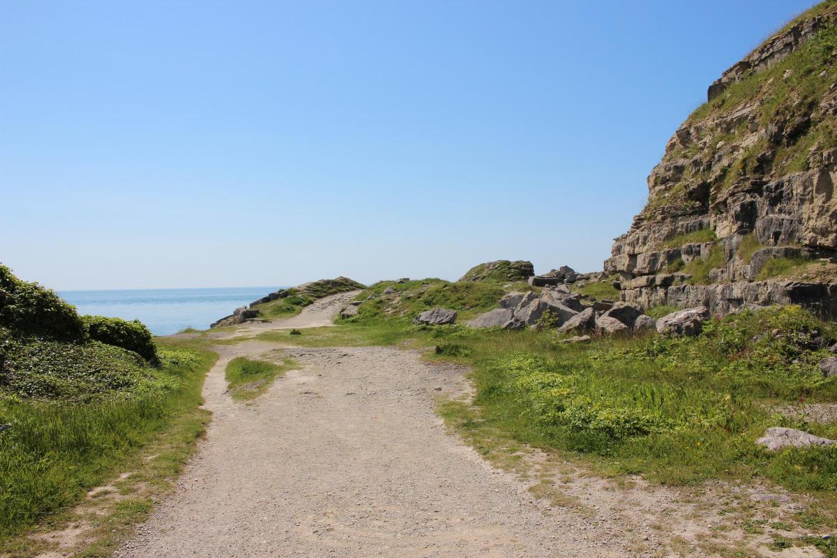
Go down the Coast Path track, around the facing gate and down the stony path into the disused quarry with increasing coastal views left and old quarried cliffs, largely reclaimed by nature, right. Back left and below Cheyne House is Freshwater Bay, beyond which there are fine views along Dorset’s famous Jurassic Coast chalk cliffs.

4 Continue along the sea-cliff edge path and, rising to a paths’ crossing with a quarry ahead, go left and continue on the track nearest to the sea-cliff edge. In a few yards this track meets the track emerging from the quarry anyway.
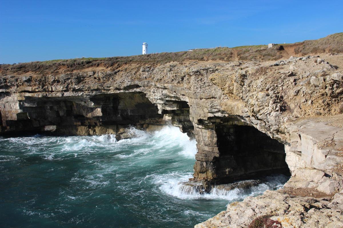
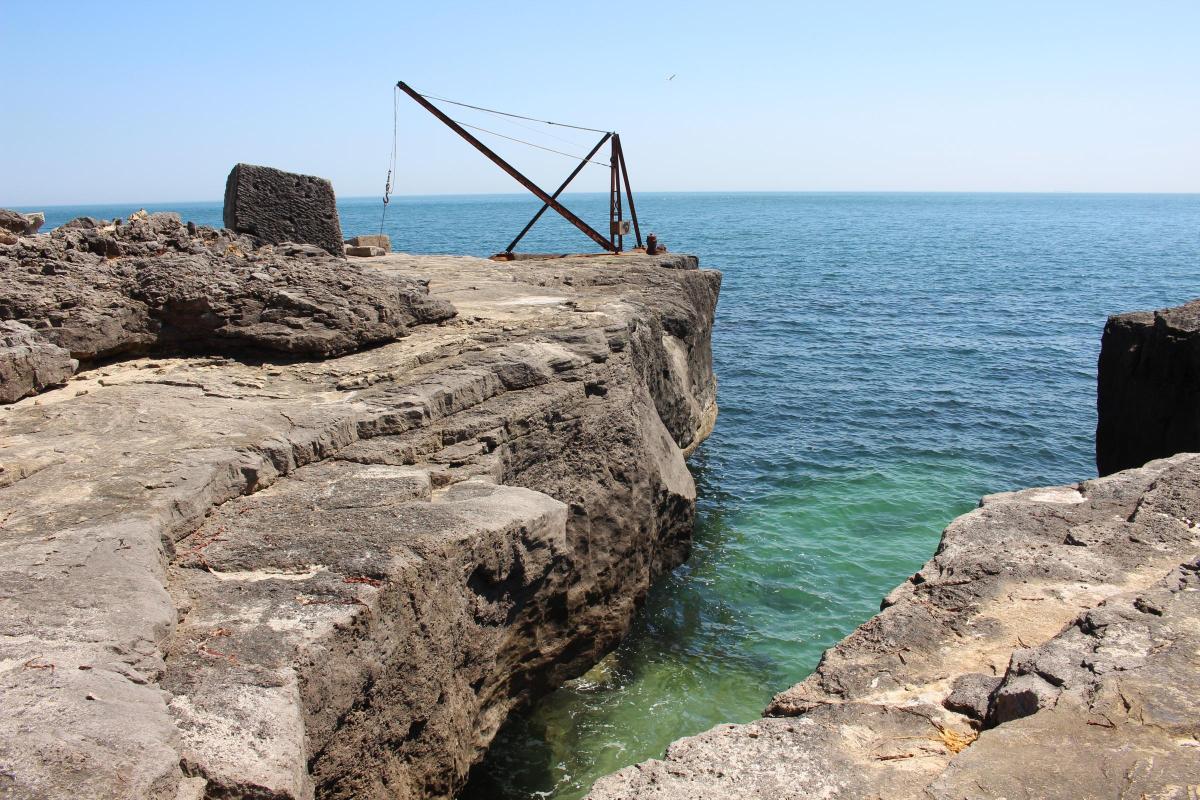
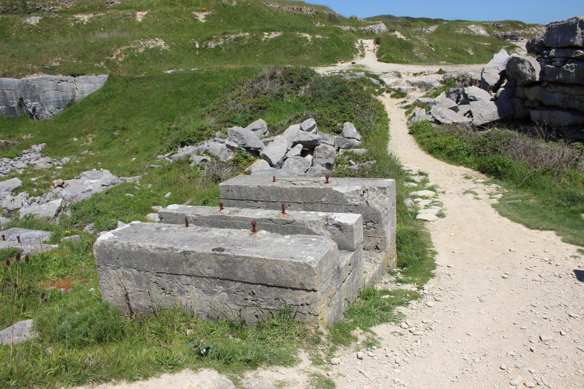
Now continue, always with the sea cliffs left, down and up across the ‘valley’ with concrete block remains of quarry-working machinery anchor points. In a few minutes, visit the timber crane, called a ‘whim’, on the cliff-edge, which loaded stone onto waiting boats. Here, there is a stupendous cave in the cliffs, called Cave Hole, which is constantly being enlarged during storms and heavy seas from the east. When tracks become paths, continue above the cliffs until you see a footbridge on the greensward with right fenced fields.
Over the bridge, follow the green track going left at a fork with the fence right. Follow the track past the first few right chalets to the wire fence.
5 Behind the chalets, see the Lower Lighthouse with its iron balcony. Built in 1788, it is now a nationally important Bird Observatory. Follow the fence straight on to the two-way ‘Coast Path’ signpost with a right-turn ‘Public Footpath’.

Visit the iron crane on the cliff edge. Keep following the track above the left cliff and undercliff straight on past right tracks which turn inland. This area is part of the Crown Estate. Keep aiming for Portland Bill Lighthouse. At two facing gates opening from another right track, follow the ‘footpath’ left of these gates and rejoin the track afterwards. Visit the iron crane, be careful when looking into the deep cave nearby.

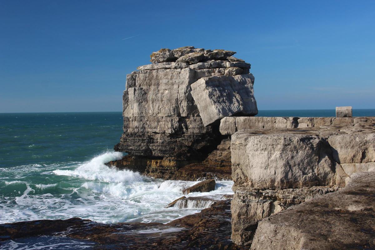
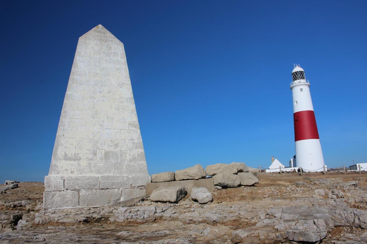
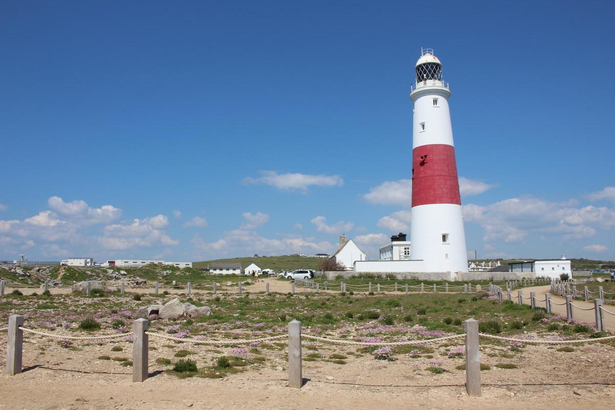
Go straight past, or stop at, the family-owned Lobster Pot Restaurant before exploring the southern tip of the Isle of Portland, with Trinity House obelisk dated ‘TH 1844’, the iconic Pulpit Rock with its stone ‘bible’ leaning against the ‘pulpit, and Portland Bill Lighthouse where you started.

Compass Points
Distance: 4 miles/6.25 km
Time: 2½ hours
Start: Portland Bill Lighthouse (Grid Ref: SY677684)
Map: OS Landranger Sheet 194
Exertion: Easy
Public Transport: First Bus Wessex ‘Portland Coaster’
Dogs: On leads on roads and on all coastal paths. Follow the Countryside Code
Refreshments: The Lobster Pot Restaurant at Portland Bill


Share