


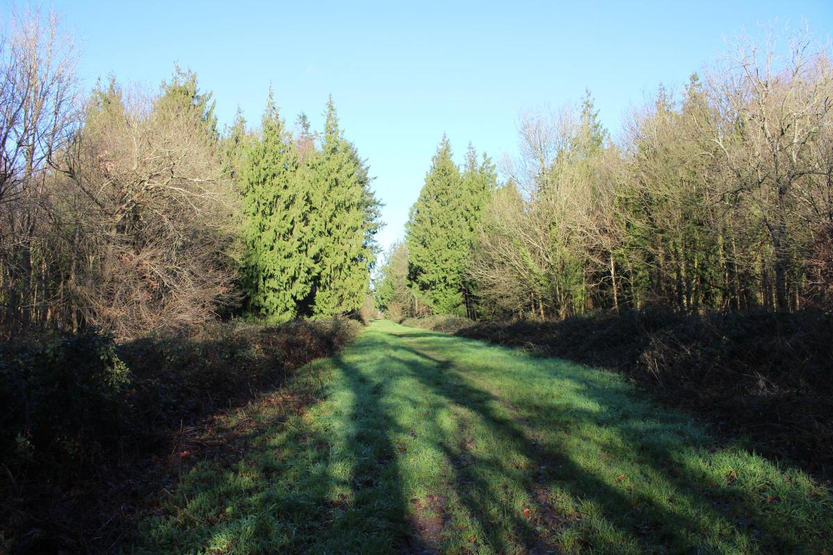

This peaceful Dorset 4.5 mile walk near Witchampton hides an extraordinary past beneath its trees. From royal hunting grounds to a 2,000-year-old Roman road, every step takes you deeper into history.
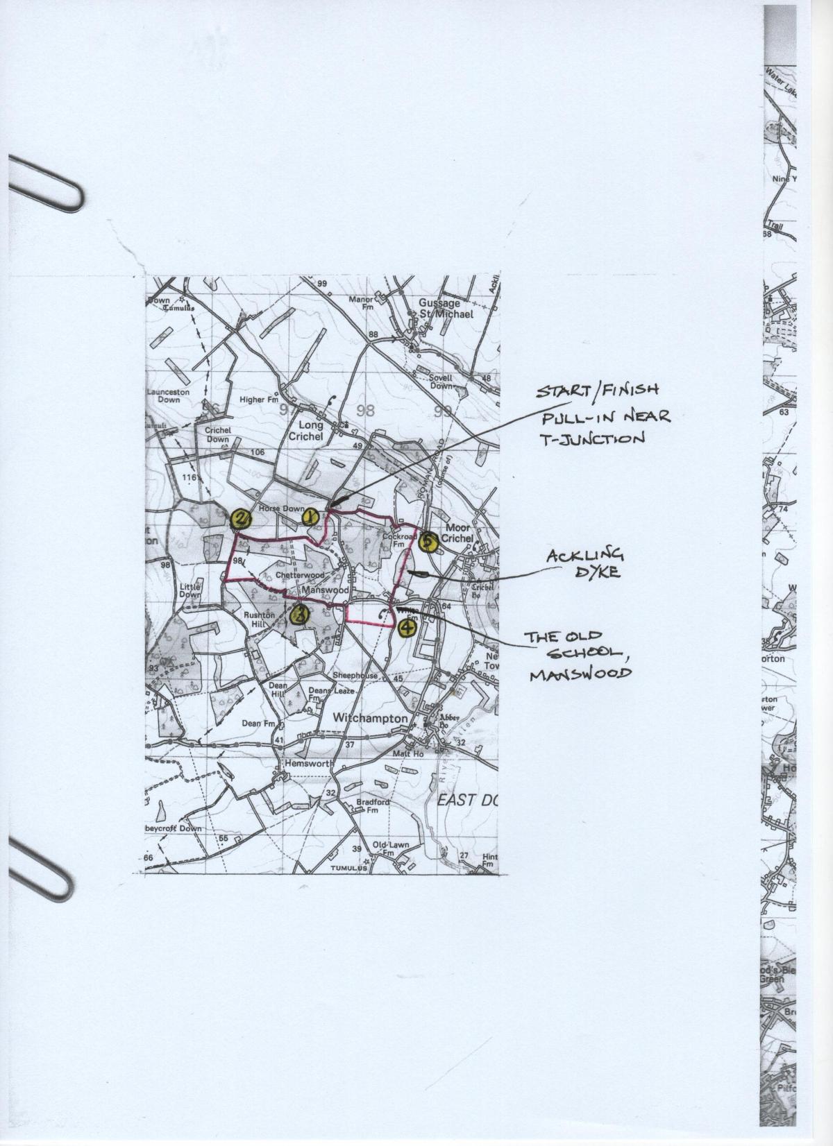
Click into the photo gallery above to see the route map.
Known as ‘Chyttrede’ at the time of Henry VII, Chetterwood, was one of eight wooded hunting areas of Cranborne Chase called ‘walks’, and this one was some distance west from the other seven. In a legal case brought by Lord Salisbury of Cranborne Manor, during the reign of Charles I, Chetterwood was said to be where Charles I and his father before him (James I) ‘did chiefly delight’ to hunt.
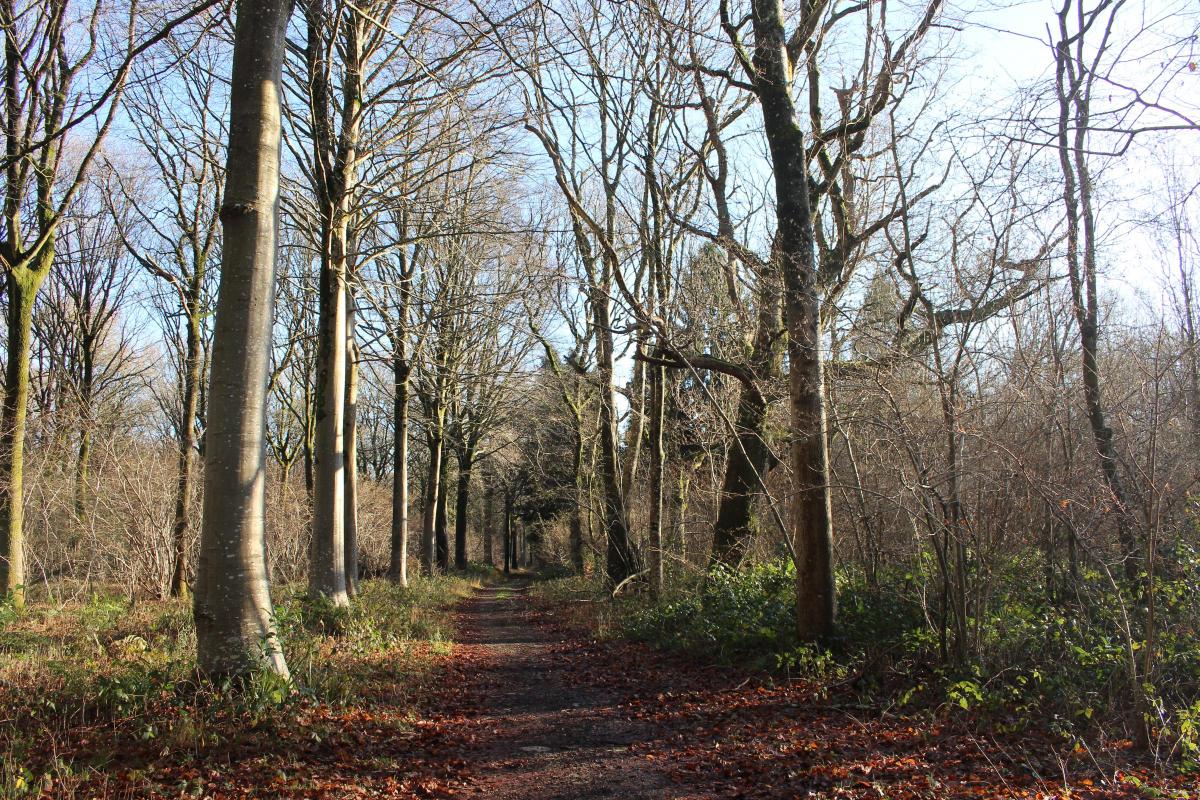
In medieval times, the woods which we will be exploring on this walk, echoed with the sounds of hazel coppicing and hurdle-making with billhooks, axes, mallets and saws.
Before that, for nearly 400 years the Roman legions marched, sinister dexter sinister dexter, along the road which we will walk; the Saxons called it Ackling Dyke.

The Walk
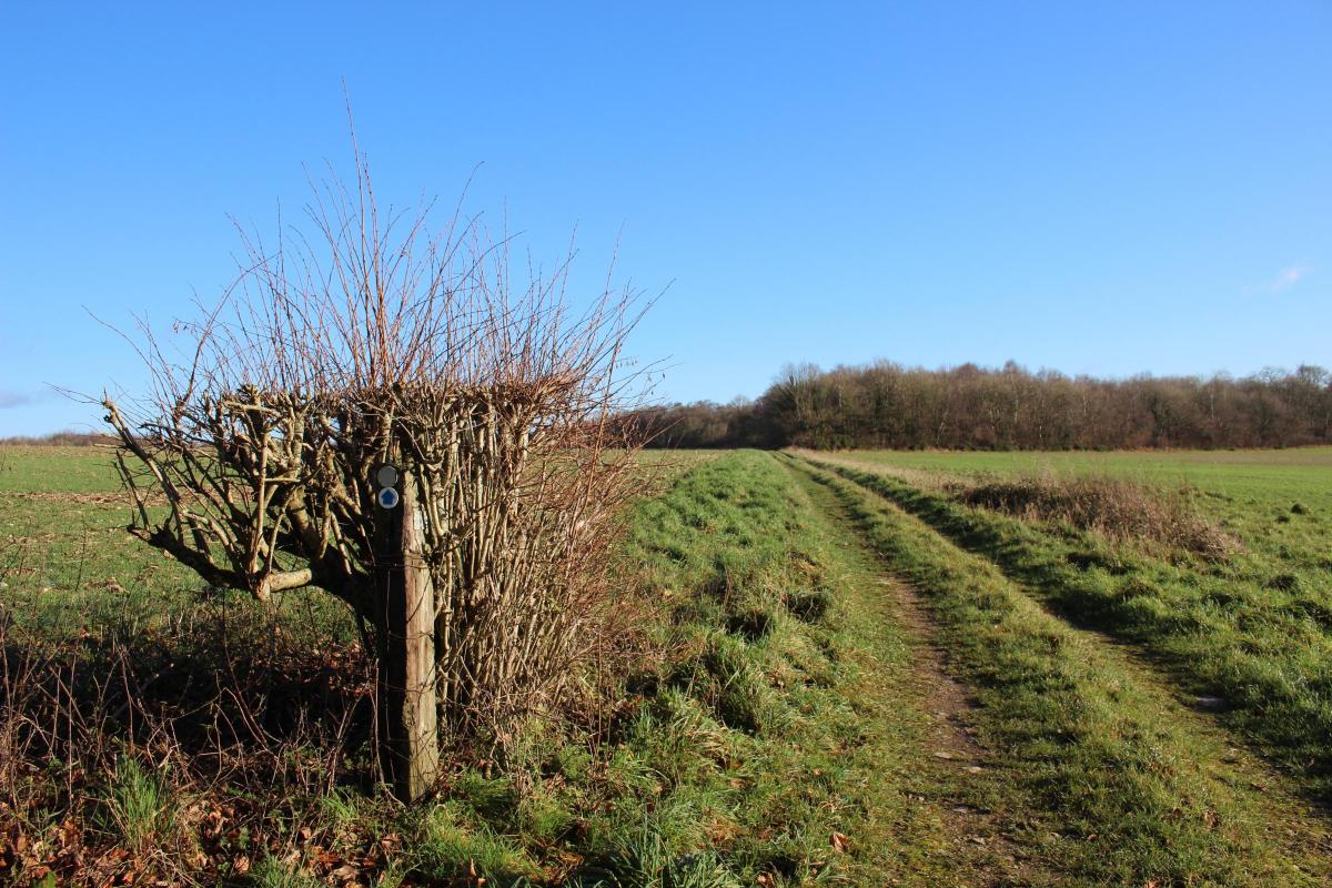
1 From the pull-in, walk away from the road into the narrow bridleway-path with tree-roots through the wood and coppiced hazel. Meander past a left bridleway-post and ‘Private Road’ track. Keep straight on through the wood, wider now and descending through ancient coppice to a three-way bridleway signpost where you go out onto a wide farm track running left-right in a huge estate field with another wood opposite. Turn right. The long track runs up a very shallow valley with Horse Down up to your right and with separate woods on field slopes. Reaching a left wood with a track turning left outside it, keep straight on alongside the wood with open field slopes right. Pass a ‘No Entry’ track right and continue rising slowly. Look out for red kites in the skies above as you continue up past deep ancient hazel coppice.
2 Just past a right cattle-trough, you reach the wood’s corner at a four-way tracks crossing with a bridleway-post. Right is ‘Private’. Straight on and left are bridleways. Turn left alongside the same wood, rising with a field and wood right. When your wood ends, there are open fields and scattered woods both sides. On the top, pass a right bridleway-arrowed track with a right hedge and cattle-trough. Continue down and meander along a right wood to the left green bridleway-track before the wood ends.

Take this left track across the wide field to facing Chetterwood, from the edge of which there are glimpses right to far distant hills and woods. Keep straight on along the right coppiced wood’s track and follow it bending right into Chetterwood, stonier now and greener. Continue to a bending bridleway T-junction with a two-way bridleway-post. Turn right and bend left in 100 yards at the bridleway-post. Continue to a right bridleway-post at a six-ways tracks crossing with another bridleway-post on the adjacent right track.
3 Cross over into the opposite track with the tree-trunk ‘CGM’ seat. Keep straight on through the pinewood. Pass a right bridleway-post and a left green path just before the pines end. Keep straight on as the track reduces to a path and leaves the wood completely. Go around the facing gate into a fenced area, swinging left to pass a right yard and left black hut. Continue along the hedged drive and past right barns to a cantilever-gate. Then, past two left thatched cottages, arrive at the Manswood road.

Cross over into the hedged wide grass off-road bridleway. Turn right around the field edge. Before rejoining the road, turn left at the three-way bridleway signpost into the wide green track between fields, fenced both sides and with young trees left. There are long views right over the fields. After nearly half mile, meet a left-right bridleway track with a facing gate. Incidentally, before you reached the end, you crossed the line of Ackling Dyke Roman road coming up from Badbury Rings, but this section was completely ploughed out long ago.
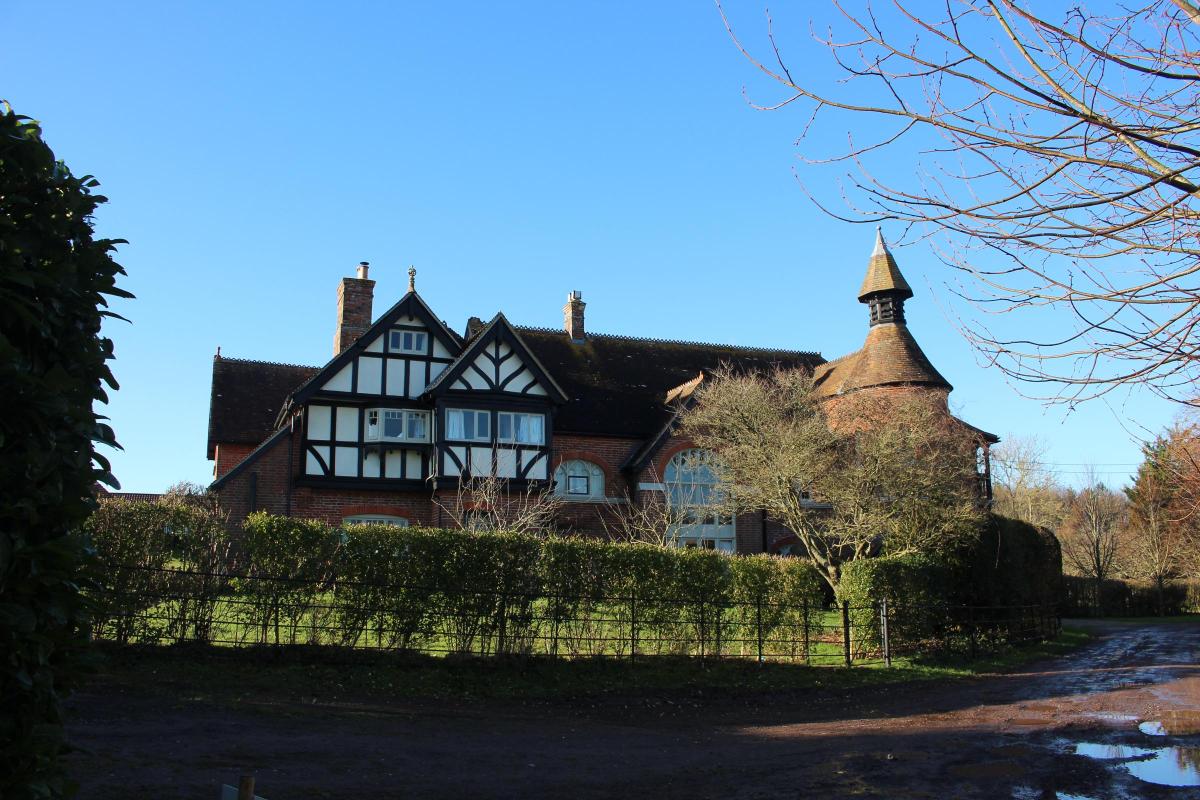
4 Turn left, hedged both sides and with trees left. Pass the gated stable-yard and the elegant Old School left with new plantation right. Continue to the drive’s end through the iron-gates, signed back ‘Bridleway’ and ahead ‘Public Route to Public Path’ (PRPP). Cross the road and pass left Drum Cottage. Continue up the hedged lane and past the gable end of the long terrace of thatched cottages, signed left PRPP. Keep straight on up into the field with the right wood. Swinging right into the wood’s track, continue over the shallow ditch and up the bank onto Ackling Dyke Roman Road. Turn left along the ‘agger’ (running surface), covered by thick grass with ditch slopes both sides which are shallower now after 2,000 years. After ¼ mile, the track bends slightly right and the road disappears from view straight on into the left wood just before you reach a wide field with Cock Road Farm prominent to your forward-left. The road, no longer traceable, continues straight across to a point left of the fence-gap you are now aiming at.
5 Follow the track across the field and continue between paddocks to exit onto the Moor Crichel lane. Turn left. With a field right and trees and holly both sides, you cross the Roman Road line one last time and, slowly rising, pass a right brick-house’s drive and the left converted stable-block of Cock Road Farm. At the facing-gates into the farm, now labelled ‘Cock Crow Farm’, a bridleway signed ‘Half Moon ½’ and ‘Manswood ½’ goes through but turn right along the lane with trees and field right and coppiced woodland left. Then, crossing a shallow valley between fields, follow the lane around a left and right bend back into woodland. Pass a left gated track and continue through coppice. Approaching the end of the lane, see Horse Down ahead across the road. Notice the signpost back for ‘Cock Rd Farm. No Thru’ Rd’. And you are back at the pull-in where you started.
Compass Points
Distance: 4½ miles/7.25 km
Time: 3 hours
Exertion: Easy. Clear tracks and level lanes
Start: Horse Down bridleway-track pull-in on Manswood to Long Crichel lane at junction with Moor Crichel lane (Grid Ref: ST976092)
Map: OS Landranger Sheet 195
Public Transport: None
Dogs: On leads on lanes and near livestock, abide by the Countryside Code
Refreshments: The Cockerel, Gussage All Saints for local beers, food and Sunday roasts


Share