





This stunning 3.5 mile Dorset walk combines beautiful coastal views with a hidden Roman temple.
This circular route from Bowleaze Cove delivers jaw‑dropping coastal views across Weymouth Bay, dramatic cliff paths above Redcliff Point and a surprising journey into the county’s deep Roman past.
Along the way, walkers pass peaceful villages, Dorset’s shortest river and ancient fields that once echoed with footsteps from the Iron Age and Roman Britain
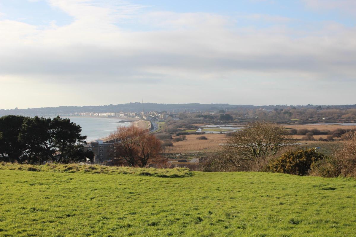
Whether the tide means you set off through Bowleaze Cove ‘out of season’ holiday park, or along the beach below, this walk offers a stunning panorama over Weymouth Bay to the extreme north end of the Isle of Portland.
Click into the photo gallery above to see the route map
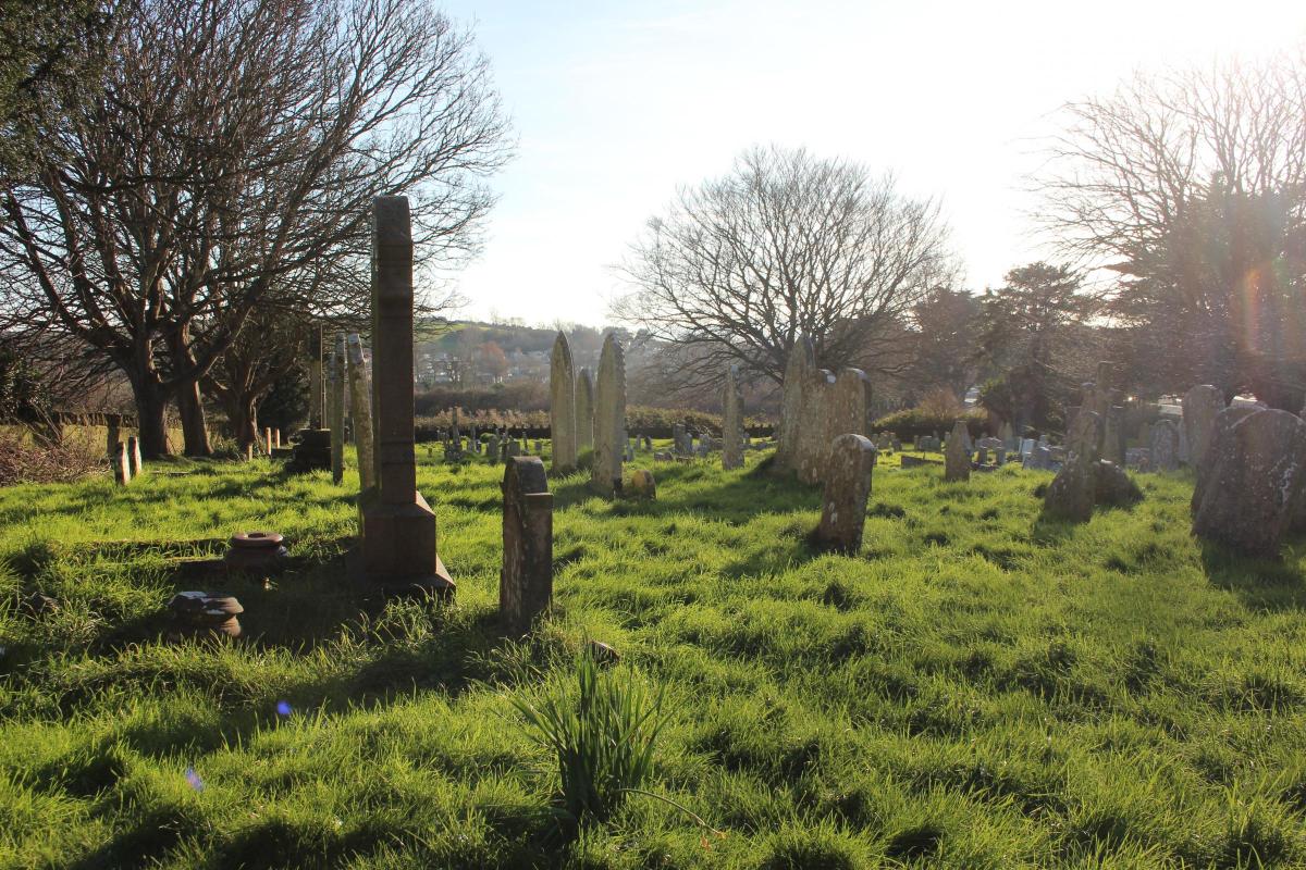
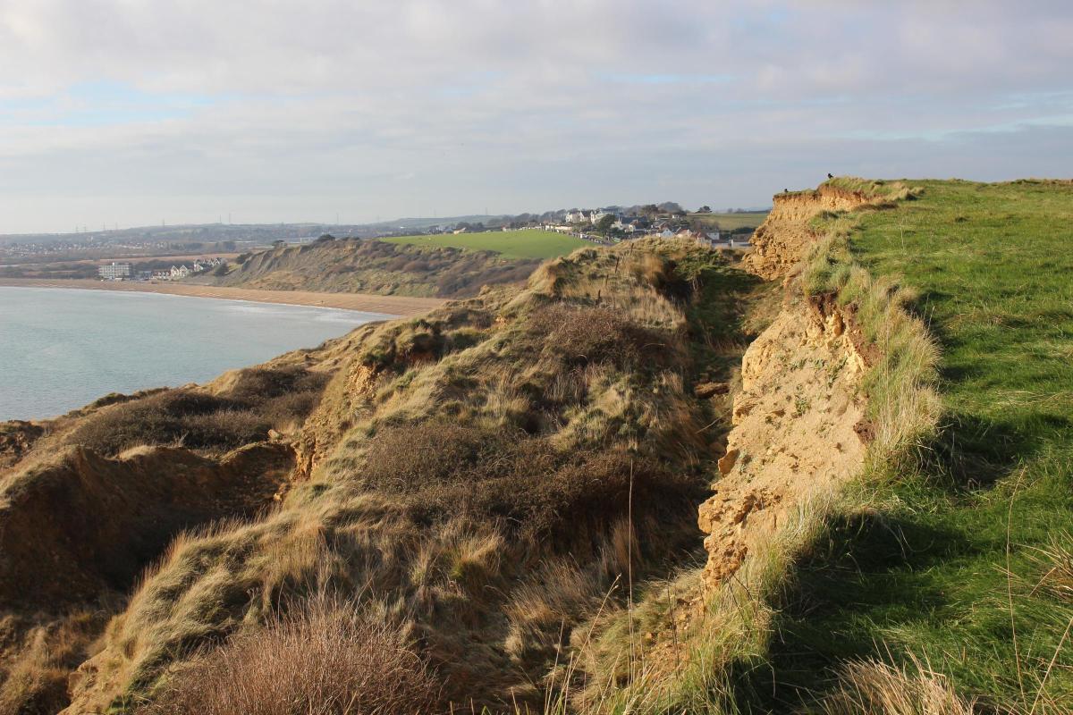
After following the South West Coast Path to cliff-top fields above Redcliff Point, with spectacular views over the ever-receding coastline, our route turns inland to St Andrew’s Church in Preston with its fine 16th-century Portland stone tower and peaceful churchyard. Into Preston village, we cross the road-bridge over the River Jordan, Dorset’s shortest river, which flows from the duck-pond at Sutton Poyntz to the beach at Bowleaze Cove. Our route then turns away from the village, ascending through fields enjoy views to Chalbury hillfort and the White Horse ridge.

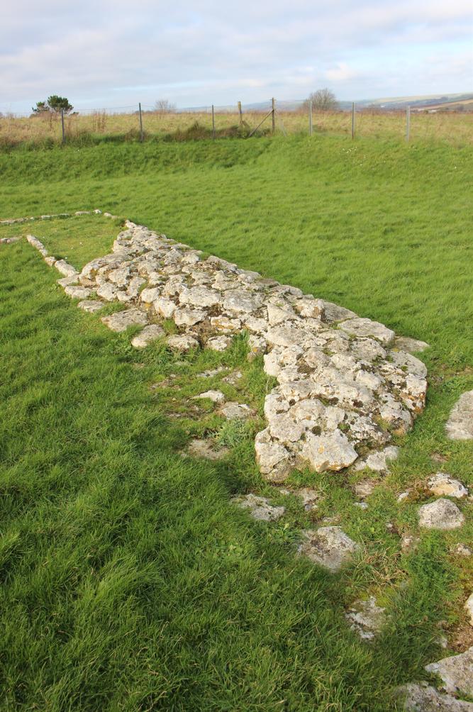
The Romans and Romano-British occupied much of the area around Bowleaze, Preston and Sutton Poyntz. The stone foundations of ‘Jordan Hill Roman Temple’ at the end of this walk, looked after by English Heritage, are similar to Durnovaria Roman Temple on Maiden Castle.
Built near the end of the Roman period in the 4th century, the Jordan Hill temple was a two-storey shrine. Excavations carried out in 1843, and again in 1931-2, also found evidence of Iron Age Durotrigian occupation.
At Preston, a Roman villa was discovered in 1844, and evidence of its occupation was found in 1935 where the River Jordan joined the beach at Bowleaze Cove.
The Walk
1 Near the top of Bowleaze Coveway, there are fine views west over Lodmoor Nature Reserve and Weymouth Bay. From here, walk east and pass the left drive signed for ‘Roman Temple’. Stay on the pavement for better views than from the Coastal Path down to your right. Reaching the wooden-fenced grassy overflow parking area, continue down and past the car park entrance. In a few yards, turn right down the steps into the car park and walk down to the Coast Path sign on a lamp post. From here, if the tide is low, make your way to the beach, turn left, walk to the concrete steps up the green cliff-slopes and go up onto the coast path.
If the tide is high, cross into the fenced Tarmac path, continue over the River Jordan bridge, follow the walled drive, signed ‘Coast Path’, and up between the left sandy play area and right fast-food stalls. The now-gravel path ascends between lawned areas to become Coast Path with the Art-Deco ‘Riviera’ complex left. Here, where the concrete steps come up from the beach, continue up along the cliff-edge path with left fence.
2 Bend left at the ‘Osmington Mills’ milestone and follow the green path to a fork. Ignoring the straight-on path, turn right at the ‘Osmington Mills 2¼’ milestone, rising substantially. Pass a reverse-left path at a right seat with a slumped section of previous cliff-top below. Continue up to pass another left path before the old fenceline and ‘Unfenced Overhang’ post. Keep straight on. Don’t turn onto any of the right lesser paths. Keep straight on until the Coast Path itself draws near to the cliff edges with recently exposed faces.

Where the minor and narrower path joins from your right, the Coast Path overlooks Redcliff Point with a series of massive slumpings and a succession of unstable sea-facing cliffs at lower levels, together hiding the beach completely. Now, continue slightly downhill on the main path towards the facing hedge’s kissing-gate. Immediately before it, at the ‘Preston 1’ milestone, turn left.

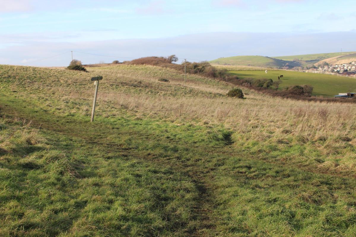
3 Follow the path along the hedge and swing left down the field to the three-way footpath signpost on a crossing path. Fork right for ‘Preston ¾’ and continue down, with Chalbury hill fort and Preston church ahead. Joining another path from reverse-right, then with gorse right, continue into the hedged path and go over the iron-stile. Follow the left paddock fences and veer into the left field when the path becomes overgrown. Follow the path downfield and back into the hedged path, frequently with water running down it. Emerge at a left gate with footpath arrow across the track. Turn right, away from the gate, onto the unsigned-bridleway track with caravan parks both sides. Pass both park entrances and keep straight on meandering and hedged past a left footpath-stile and bending right at ‘Bowleaze Cove’ park gates. Continue, rising slowly and hedged both sides, still meandering, past ‘Haven’ park. Up around the left bend at facing red-brick houses, walk to St Andrew’s churchyard stone-wall.

4 Continue along the lane and past the church’s lych-gate or go through to visit. Now Church Road, continue to the A353. Turn left, past the Spice Ship with Sutton Road for Sutton Poyntz right.

Walk down Preston Road, across Fisherbridge Road and over the River Jordan bridge. After the Spar store right and ‘Haven’ entrance left, turn left into Forehill Close. Ignore all turnings off and continue to the far-right bend with Maple Close opposite. In 10 yards, take the left unsigned ramp-path into the high-fenced rising official footpath. Walk up between fenced houses and gardens to the open left field. Although everything is un-arrowed all the way, go left and fork right up the field. Past a reverse-left path, walk up through the facing hedge-gap, cross the right-left path and continue up the field’s green path to the next facing hedge’s gateway, ignoring the right-left path before it. Through, walk up the field, ignoring two right forks, towards the pine trees and swinging right to visit the fenced Roman Temple. Afterwards, continue down the drive to Bowleaze Coveway back where you started.
Compass Points
Distance: 3½ miles/5.5km
Time: 2½ hours
Exertion: Mildly strenuous. Mostly coastal cliff paths and hillside fields
Start: Park at Bowleaze Coveway above Bowleaze Cove (Grid Ref: SY698819)
Map: OS Landranger Sheet 194
Public Transport: Damory No. 5 and Jurassic Coaster X54 in season
Dogs: On leads near cliffs and on roads, abide by The Countryside Code
Refreshments: Lookout Café, Bowleaze Coveway for coffee, teas and lunches


Share