



SEE some sweeping views of the beautiful Dorset countryside and of a manor house on this historic walk.
Follow ancient paths across Cranborne Chase on this 4.5 mile stroll that combines sweeping views with more than 1,000 years of history
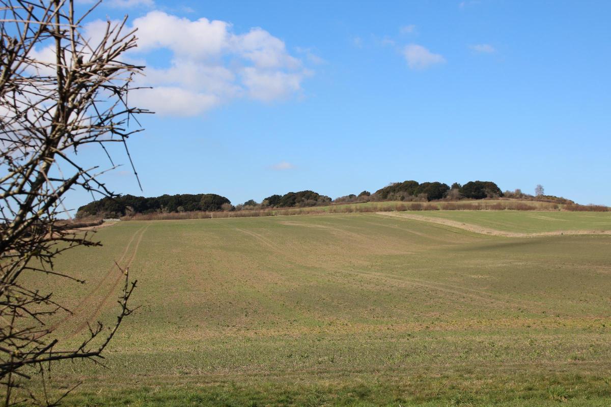
This fine walk out into the fields and downs of historic Cranborne Chase affords extensive views over the countryside where kings, lords and earls hunted deer for more than 1,000 years.
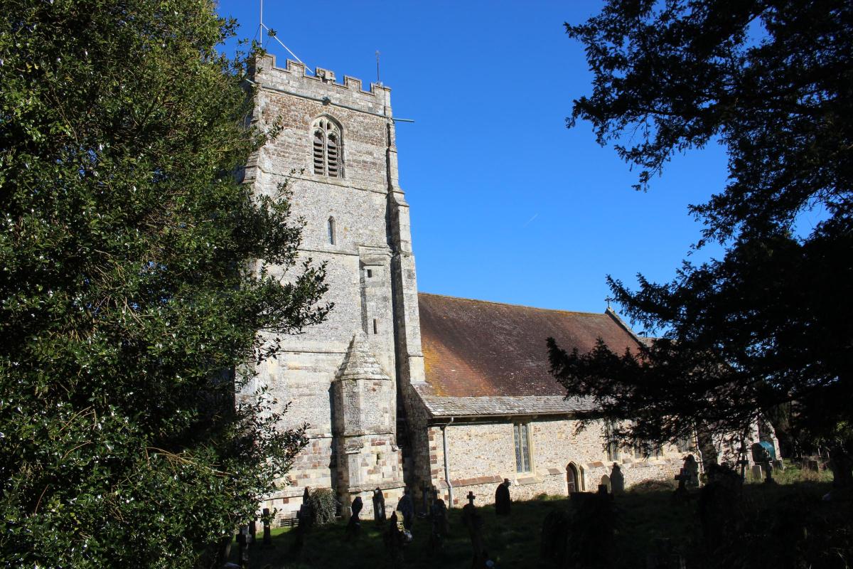
Before we even set foot outside Cranborne, we are in the midst of history when we visit Cranborne’s Church of Sts Mary and Bartholomew, which dates back to the 12th century.

The Rev. John Hutchins described the 15th-century stout square west tower as ‘massy’. The nave walls are 14th-century and the east chancel and vestry were rebuilt 1874-5.
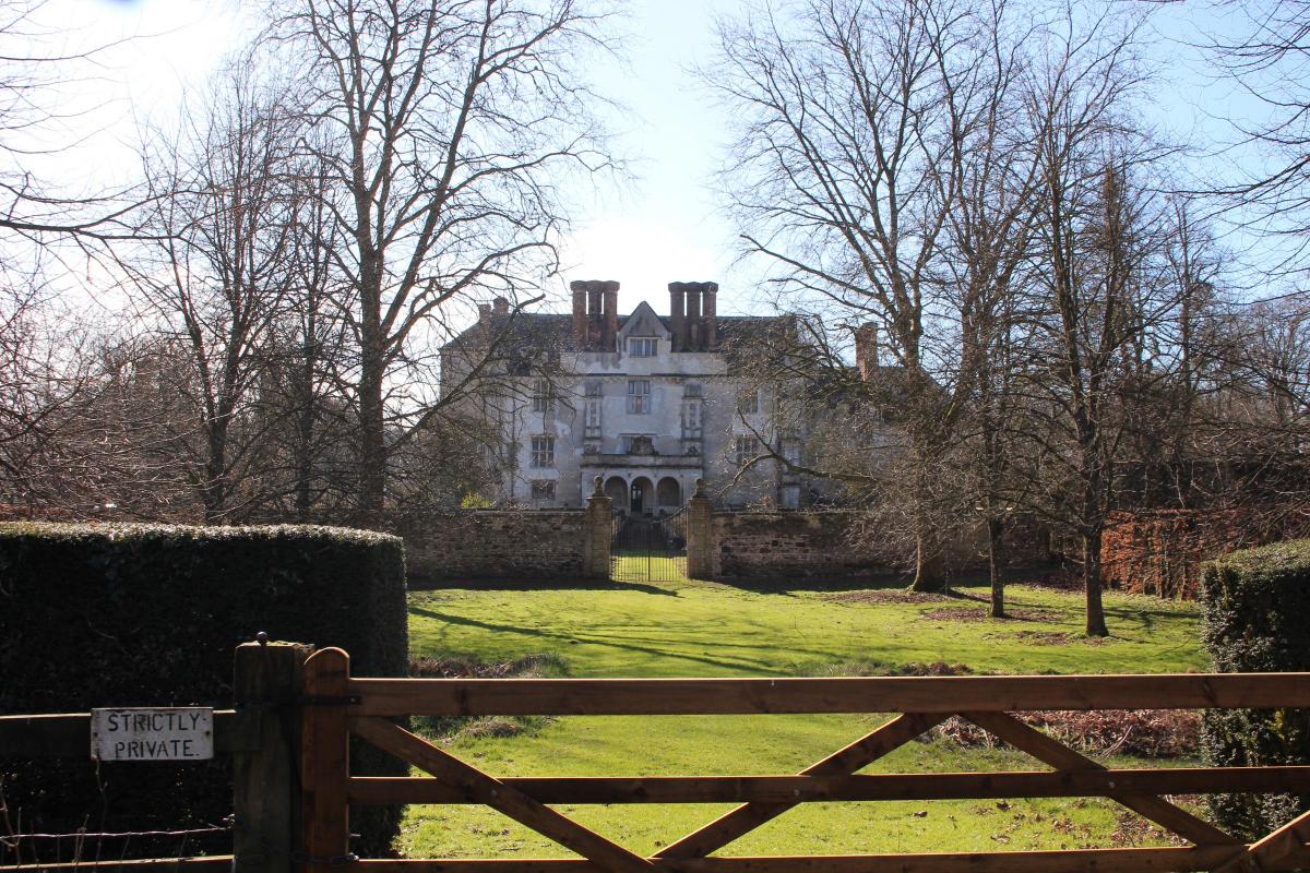
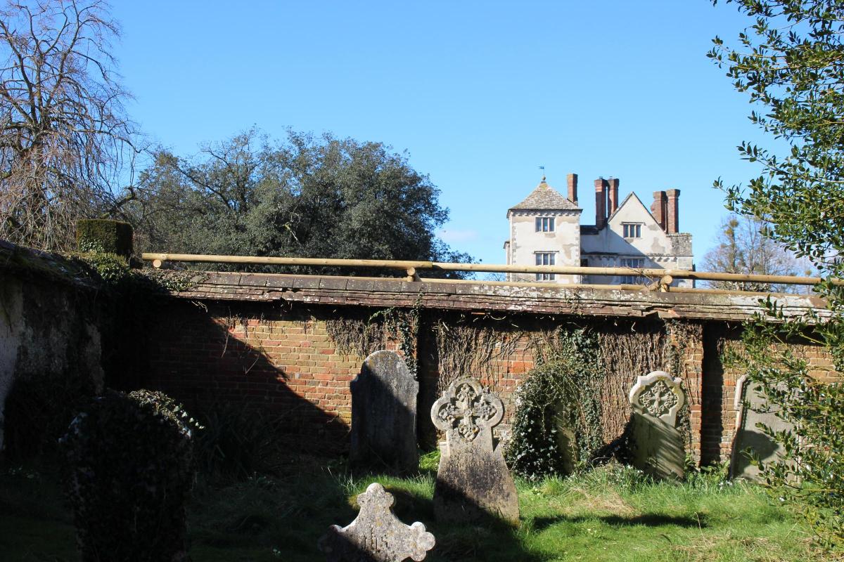
The Royal Commission on Historical Monuments describes Cranborne Manor House next door as 'of great significance in architectural history. It is one of the oldest surviving domestic buildings in England, preserving its original form to an extraordinary extent'.
On this walk, we also pass Cranborne Farm house and the former St Aldhelm’s Chapel at Boveridge – more about them as we go by.

FACT FILE
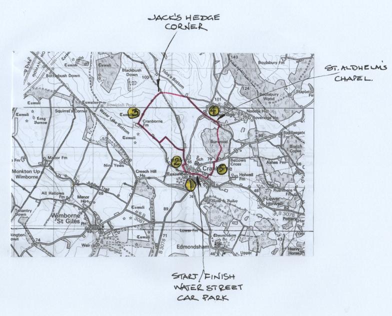
Start: Free car park by Village Hall, Water Street, or round the corner in Damerham road, Cranborne (Reference ST056133)
Distance: 4½ miles/7¼ km
Time: 3 hours
Exertion: Fairly easy with some gradual ascents. No stiles
Map: OS Landranger Sheet 195 and 184
Public Transport: None
Dogs: On leads near sheep, cattle, pheasant rearing and on road. Follow the Countryside Code
Refreshments: Cranborne Garden Centre Café for coffee, light lunches and afternoon teas

The Walk
1 Walk past the right Fire Station and into The Square with Cranborne Stores on the corner. Keep straight on past the Sheaf of Arrows then fork left at the gravel garden into Swan Street.
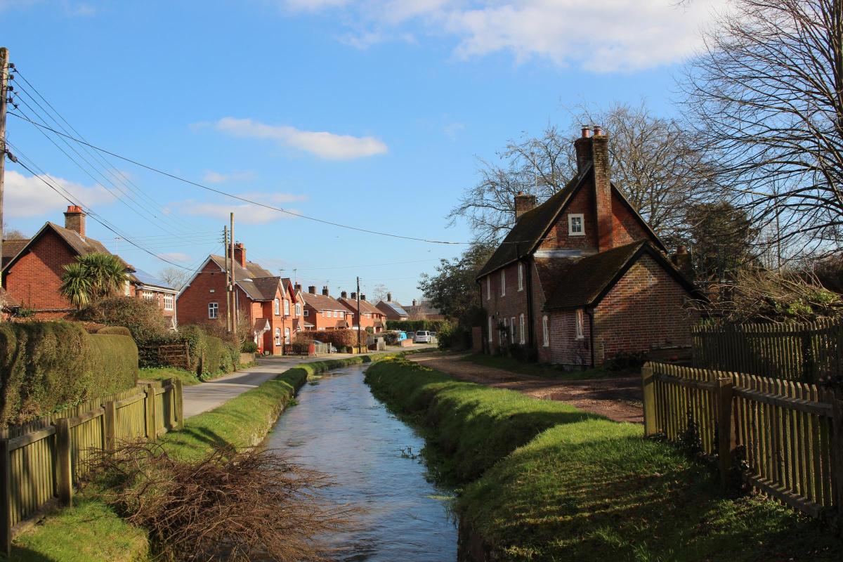
Follow the lane to St. Mary’s and Bartholomew’s Church. Go into the churchyard and maybe the church, then return and continue along the lane. Fork right off Cranborne Manor House’s drive to the right side of the River Crane with right cottages.
At the footpath-signed kissing-gate go through into parkland. Go half-left on the footpath up to the crossing bridleway-track. See the Manor House’s north front at the end of the beech avenue.
Then, turn right along the bridleway-track towards the flint wall. Your entry kissing-gate is now below right. Don’t go through the bridleway gate. Turn left up the field’s grassy path with houses and gardens on your right. Continue up to the meeting of the high right wall with the beech avenue. At the wall’s end, go through the kissing-gate and follow the path to Salisbury Street.
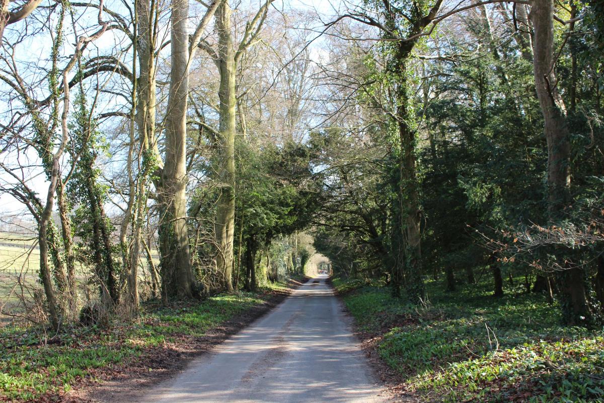
2 Turn left up the road. At the right bend, go straight on into the ‘Bridleway to Pentridge. No Through Road’. Walk up the hedged Tarmac track to the left double-gates. Don’t continue up to the right house. Through the gates, walk up the hedged track and over the top. Descending, with river-rolled pebbles in the track and verges, there are long views ahead into Wiltshire and pastoral views through right and left gates where the track widens.
Past a solitary yew, walk up to the facing double-gates. Around the left bend, continue down between hedged fields to the T-junction with the River Crane under the tree-line in the facing field. Turn right along the fenced/hedged track. Pass right and left gates and a right red-brick cottage. Approaching Cranborne Farmhouse in forward-left trees, there are multiple gates all around. The brick-built, slate-roofed Farmhouse dates from the late-1700s and was extended in the early-1800s. A brick and timber barn dates back another 100 years. Pass the left farmhouse and barns and turn right up the footpath-arrowed track.
3 Follow this ¾ mile rising track between hedged fields, becoming grassier after left double-gates. Past opposing double-gates with Blackbush Down woods on the left hilltop, continue to the top bridleway track T-junction at Jack’s Hedge Corner with Pentridge Hill pines far left. Cross to the bridleway-arrowed gate and gap into the huge field corner.

Follow the right hedge green track down towards the green barn. Past the bottom right footpath-post, join the wide farm track running along Toby’s Bottom. Turn right. Past the left hay-storage barn, don’t fork left onto the rising track but keep straight on along the footpath-arrowed level lower track with farmland sloping down on both sides into the shallow valley. In about ½ mile, arrive at the ‘Boveridge’ finial signposted road.
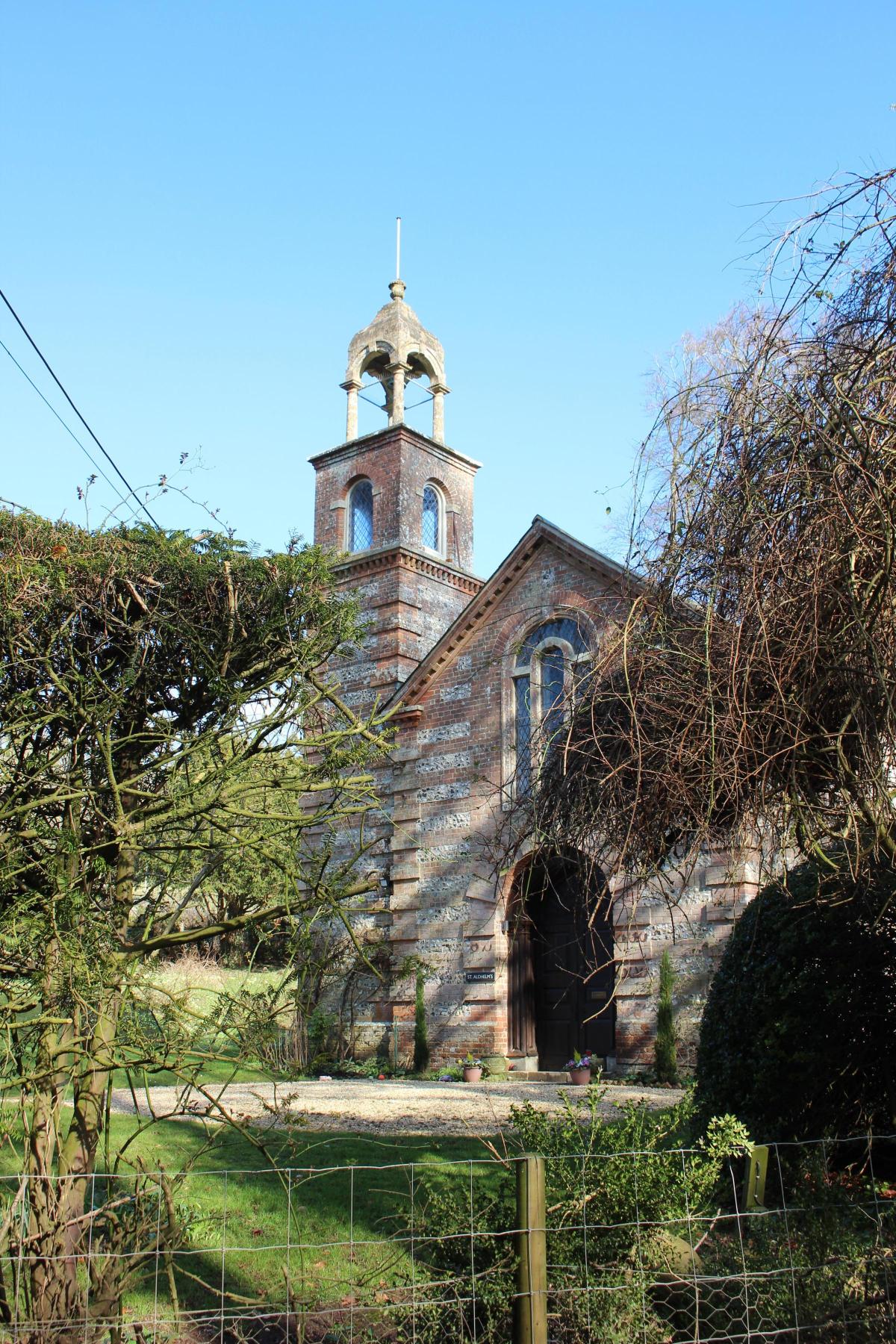
4 Cross over, signed ‘Damerham 3¾’, and pass the right cottage hedge. Then, pass thatched white ‘Highfield’ cottage’s beech hedge. Not far is brick and flint ‘St Aldhelm’s behind left bushes.

The former chapel was built in 1838 but replaced an original 16th-century building.

The bell-cote on the tower has four Roman-Doric style columns supporting a canopy with a vase finial on top. After the chapel, the lane bends right at a left-fork track with a left bridleway-signpost. Keep to the lane and continue past the left cottage. In 100 yards, take the right footpath-signed gate-gap onto the green track with a right paddock. Walk up into Burwood coppice and woodland. Meandering slowly to the top, pass the right track.
Now, keep meandering through mixed deciduous and pine trees, ignoring all side tracks. Past the right forestry yard, go through the double-gates gap, footpath-signed back, onto the Boveridge road. Turn right. In 50 yards, take the left bank’s signed footpath into the high field. Walk along the right hedge with fine views left and glimpses over Cranborne to the Manor House right.

5 Continue down to the T-junction with the path coming from the left where your hedge ends. Follow the hedged path down past a left path and house’s gable end. Continue down to emerge, footpath-signed backwards, into the estate road with the football pitch right.
Turn left. Walk down past left Penny’s Mead and round left to an open area of parking and houses. Double-back right around the right houses onto the path to the River Crane and footbridge.

Don’t cross. Turn right along the riverside path with right houses and continue to the car park with Cecil memorial Hall left where the River Crane emerges from its covered tunnel which, constructed in 1841, starts by the drive into Cranborne Manor which you passed at the start. You are now back at Water Street car park where you started.


Share