
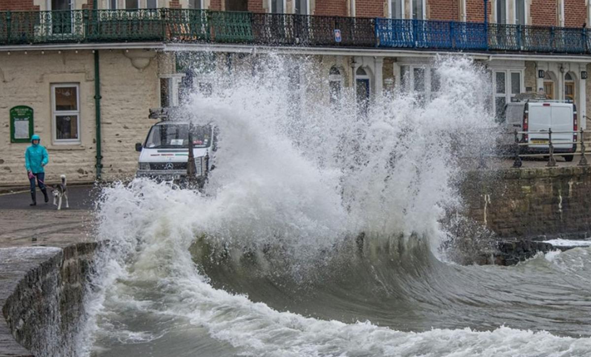
WEST Dorset is on flood alert with gusts of wind up to 60mph expected along the coast today.
Last night, the Environment Agency issued a flood alert - flooding is possible - for the whole of the west coast of Dorset from Lyme Regis to Portland Bill today.
It is valid for both high tides at 10am and 10:30pm.
The alerts have now been upgraded to flood warnings - flooding is expected - for West Bay and Lyme Regis harbours - for tonight's high tide.
Spray overtopping the beaches and promenade is expected plus flooding to low lying areas.
The forecast wind direction tonight is south west and the forecast wind strength is Force 6.
Meanwhile the warning for today says: "The forecast wind direction is veering from south easterly to south westerly through the day with gusts up to 60 mph, Force 8.
"The peak of the winds will be early to mid afternoon.
"Expect spray overtopping the beaches and flooding to low lying areas. Please avoid exposed coastal areas and keep away from cliffs."
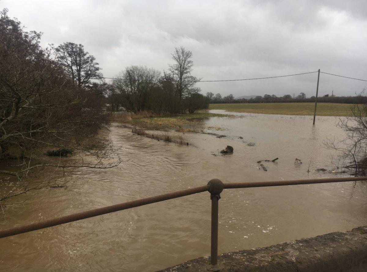
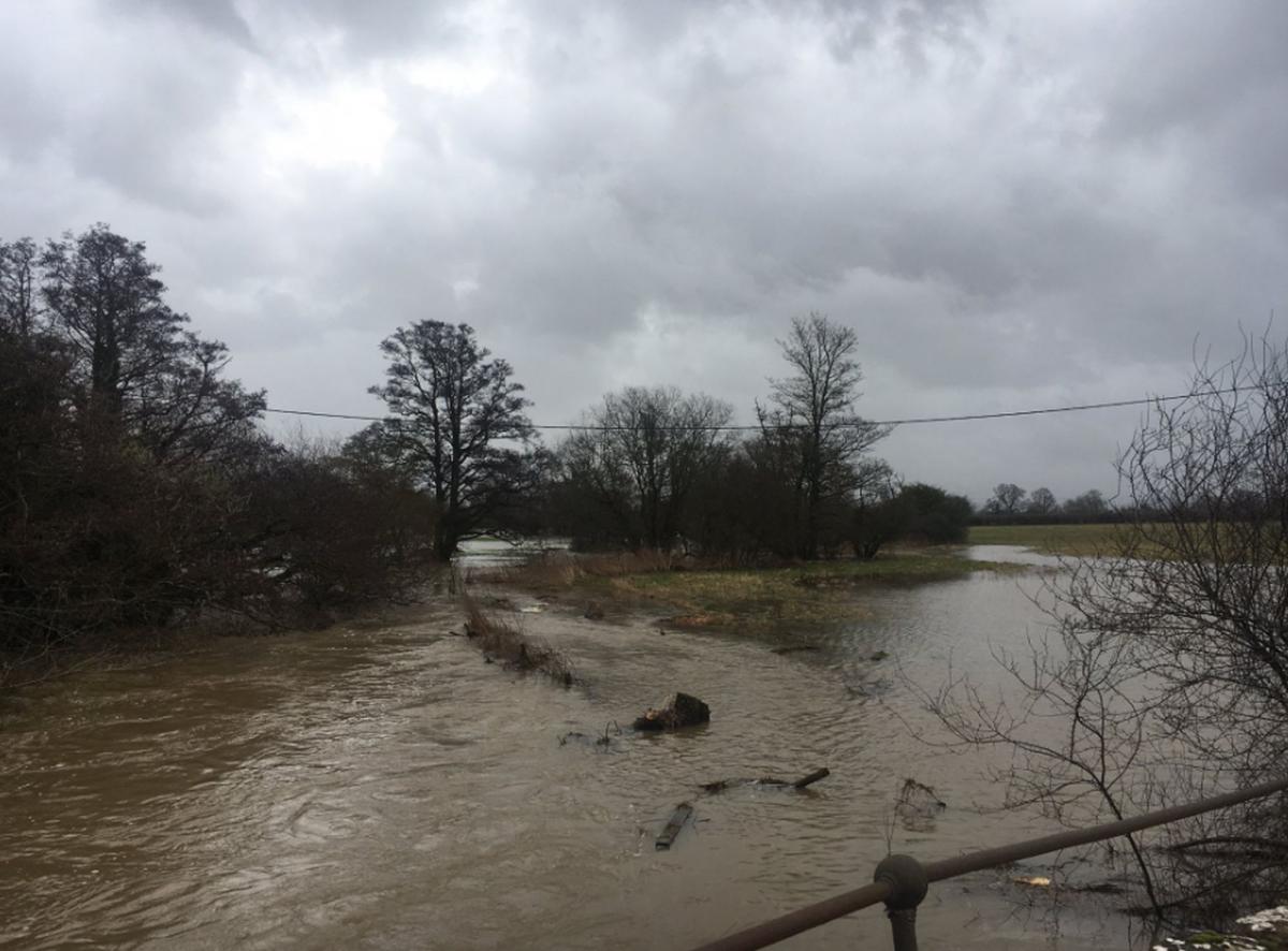
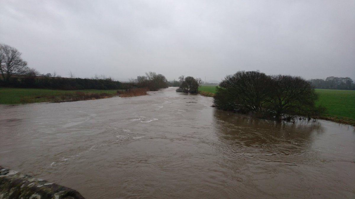
A flood alert is also in place for the Middle Stour and tributaries from Sturminster Newton to Wimborne where river levels are rising in response to recent rainfall.
Up to 20mm of rain is forecast today and tomorrow, and river levels are expected to rise in response to this rainfall.
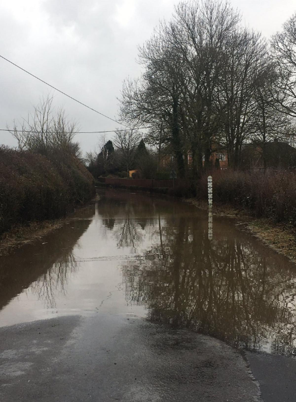
The A351 East Street Corfe Castle is currently flooded. The flooding is on Sandy Hill Lane in both directions at the A351 East Street junction.
There are also reports of flooding at Bradford Abbas. The road is reportedly impassable at "Smiths Bridge" over the River Yeo.
#TravelDorsetAlert: Bradford Abbas - reports of road flooded and impassable at "Smiths Bridge" over the River Yeo.
— Travel Dorset (@TravelDorset) February 2, 2017
A road is also partially blocked in north Dorset due to a fallen tree.
Meanwhile, a wind warning has been issued by the Met Office for tomorrow for the South West including Dorset and has now been extended until Saturday afternoon.
The warning says: "There is still the potential for gales to affect southern parts of England and Wales.
"The most likely scenario is for gusts widely in the 50 to 60 mph bracket, which could affect travel and produce some minor damage.
"Gusts of 60 to 70mph may still occur in southern counties, where there remains a small chance of 80 mph gusts in exposed coastal areas. If such winds were to happen, we would expect damage to trees and perhaps to buildings, possible disruption to power supplies, as well as delayed travel."

The additional warning reads: "The most likely scenario is for inland locations to see a relatively short period of 40-50mph gusts.
"Windward coastal areas will see a longer period of 50 to 60mph gusts with isolated gusts to 70mph.
"Some travel disruption is possible as well as some trees being brought down. Some heavy rain may also bring surface water issues to parts of southwest England and south Wales.
"There remains a low likelihood of gusts reaching 80mph in some exposed southern counties."
Weymouth-Waterloo operator South West Trains said high winds are expected to cross parts of its route from Friday into Saturday.
A spokesman said: "We anticipate that the affected areas will include Eastleigh to Weymouth, Haslemere to Portsmouth and Salisbury to Exeter. Coastal areas will be worst affected.
"Our weather forecasters are projecting that we could see gusts of wind ranging from 35 to 50 mph from early evening, with isolated gusts reaching 60mph in some areas."
The company said it is planning to run a normal timetable on all routes on Friday evening and Saturday morning however the risk of trees and debris being blown onto the railway will require the company to make adjustments to trains in affected areas.
The spokesman said: "In particular, we will be restricting trains to a maximum speed of 50mph in these locations, and this will extend journey times.
"On Saturday morning, the first trains to pass through at risk areas may need to be cancelled to allow us to ensure these routes are clear and safe for passenger services. We may also alter the number of carriages on some services.
"We will publish any changes on our website and you should check before you travel by visiting our Live Train Information page, or by following us on Twitter at @SW_Trains. To plan your journey, please use the National Rail Enquiries real–time Journey Planner."


Comments: Our rules
We want our comments to be a lively and valuable part of our community - a place where readers can debate and engage with the most important local issues. The ability to comment on our stories is a privilege, not a right, however, and that privilege may be withdrawn if it is abused or misused.
Please report any comments that break our rules.
Read the rules hereLast Updated:
Report this comment Cancel