
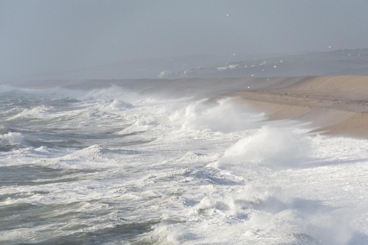
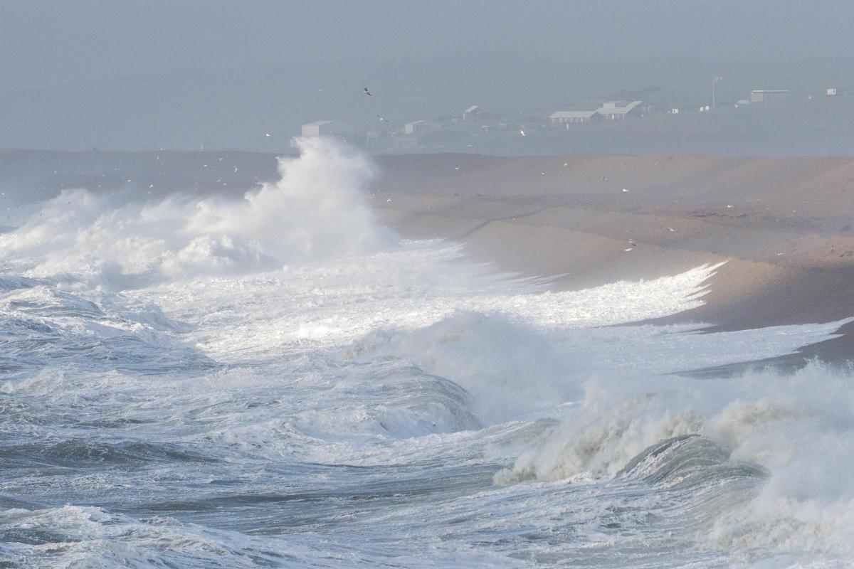
DRAMATIC pictures have been captured on Dorset's coast as Storm Barney sweeps in.
Izzy Imset of Chesil Beach Watch took the photos this afternoon as the Met Office warned that gusts of up to 70mph could hit exposed coastal areas.

A yellow weather warning is in place until 2am tomorrow.
The wind means there could be disruption to travel, trees could be blown down and there is likely to be large waves in coastal areas.
As of 5pm Tuesday there has been no major travel disruption with no incidents reported on the roads.
A tree blocked the Weymouth-Waterloo rail line in the Poole area earlier but this has since been cleared.
Condor Ferries has cancelled its sailings to the Channel Islands from Poole on Wednesday due to the adverse weather.
A spokesperson for the Met Office said: "West or southwesterly gales or severe gales are expected to sweep eastwards across the southern half of the UK later on Tuesday.
"Gusts into the 40-50 mph are likely widely across southern England and southernmost parts of Wales with 50-60 mph gusts likely along coasts, possibly as much as 70 mph in very exposed locations.
"The winds should quickly ease across western parts later on Tuesday evening and across eastern parts shortly after midnight. Be aware of the risk of disruption to travel and to trees. With the strength of the winds, large waves are likely to affect some coastal areas."
Severe weather warnings for #StormBarney have been issued with the possibility of 80mph in exposed western areas pic.twitter.com/8RKdBldScB
— Met Office (@metoffice) November 17, 2015
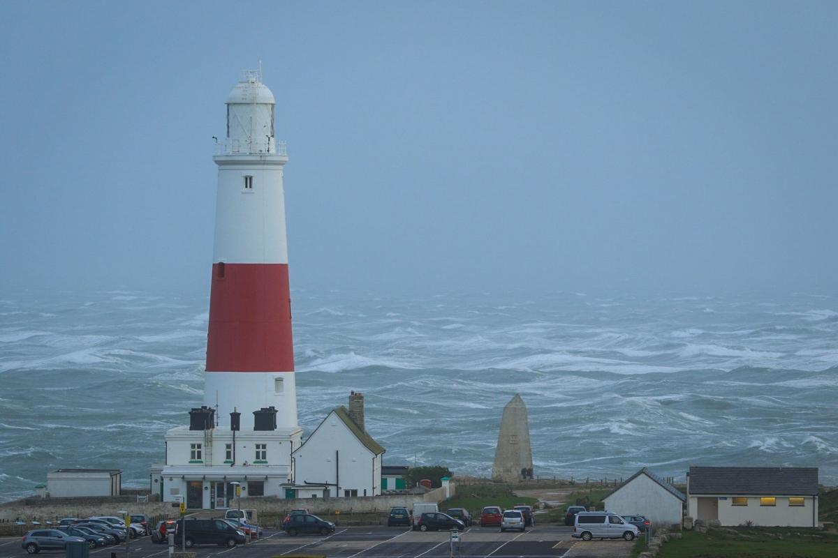
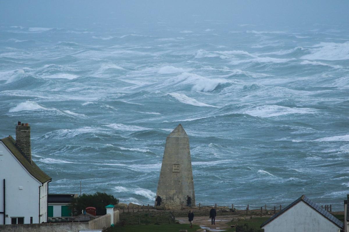
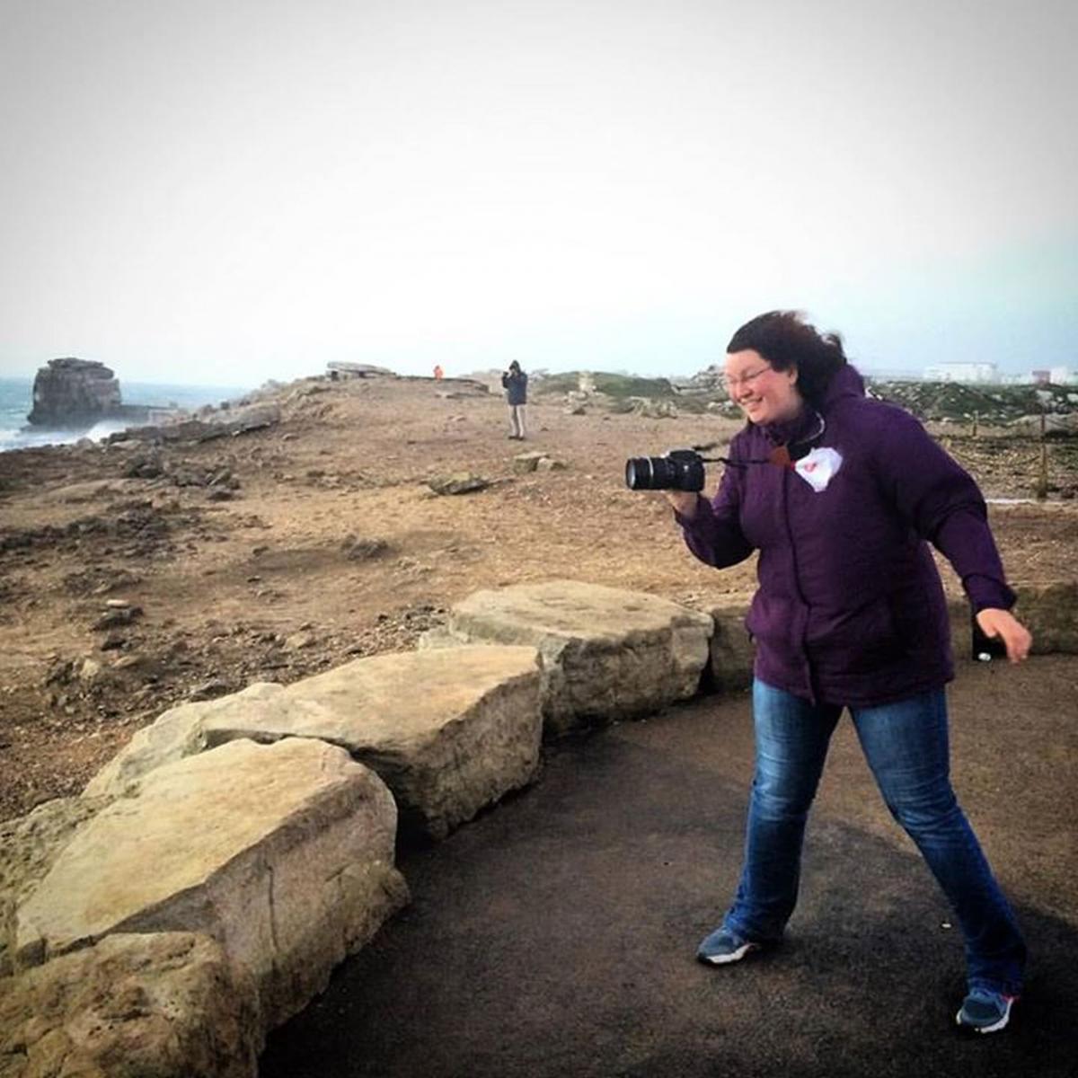
Pictures have also been captured at Portland Bill this evening.
Photographer Chris Nesbit said: "I have travelled down from Southampton to catch the storm against this iconic spot. At times being blown over (literally), but watching the seas and listening to the winds is quite remarkable."


Comments: Our rules
We want our comments to be a lively and valuable part of our community - a place where readers can debate and engage with the most important local issues. The ability to comment on our stories is a privilege, not a right, however, and that privilege may be withdrawn if it is abused or misused.
Please report any comments that break our rules.
Read the rules hereLast Updated:
Report this comment Cancel